Near Shiloh in Hardin County, Tennessee — The American South (East South Central)
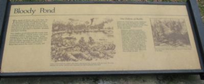
Bloody Pond
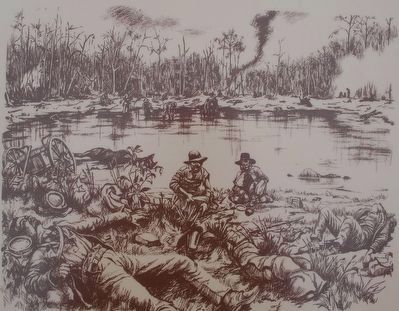
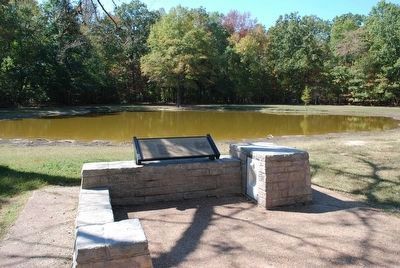
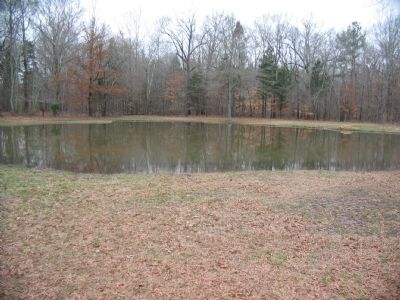
This shallow pond attracted the weary and wounded soldiers of both armies who were engaged in heavy fighting nearby. Some crawled here for their last drink. Observers after the battle reported that the pond was littered with dead soldiers and horses. Blood had turned the water a murky red.
The Debris of Battle
American short-story writer Ambrose Bierce was only 20 when he fought here with the Union Army of the Ohio. Bierce recorded his impressions of the aftermath:
Knapsacks, canteens, haversacks distended with soaken and swollen biscuits, gaping to disgorge, blankets beaten into the soil by the rain, rifles with bent barrels or splintered stocks, waist-belts, hats and the omnipresent sardine-box -- all the wretched debris of the battle still littered the spongy earth as far as one could see, in every direction. Dead horses were every-where; a few disabled caissons, or limbers, reclining on one elbow, as it were; ammunition wagons standing disconsolate behind four or six sprawling mules. Men? There were men enough; all dead.
Topics. This historical marker is listed in this topic list: War, US Civil.
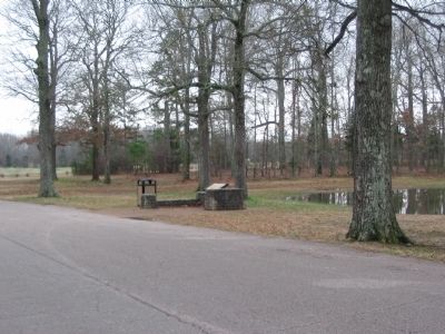
Location. 35° 8.008′ N, 88° 19.898′ W. Marker is near Shiloh, Tennessee, in Hardin County. Marker is on Hamburg-Savannah Road, on the left when traveling north. Located at stop 14, the bloody pond, of the driving tour of Shiloh National Military Park. Touch for map. Marker is in this post office area: Shiloh TN 38376, United States of America. Touch for directions.
Other nearby markers. At least 8 other markers are within walking distance of this marker. Return to Bell's Farm (here, next to this marker); Terrill's Battery (within shouting distance of this marker); Willard's Battery (within shouting distance of this marker); Batteries H and M, 4th U.S. Artillery / Battery H, 5th U.S. Artillery (within shouting distance of this marker); Bruce's Brigade (within shouting distance of this marker); 16th Wisconsin Infantry (about 300 feet away, measured in a direct line); Bowen's Brigade (about 300 feet away); 12th Illinois Infantry (about 300 feet away). Touch for a list and map of all markers in Shiloh.
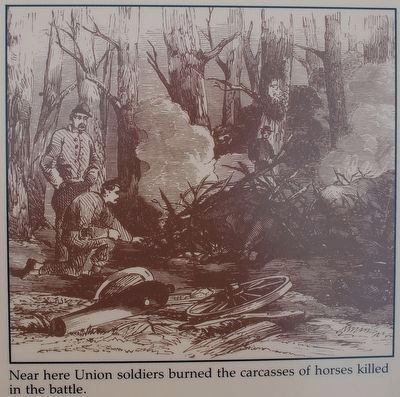
More about this marker. In the center is a depiction of the wounded and dead soldiers at the Bloody Pond. Union and Confederate soldiers alike drank and bathed their wounds at Bloody Pond. The long marches, the smoke, and the taste of gunpowder had heightened their thirst. On the right is a drawing showing Near here Union soldiers burned the carcasses of horses killed in the battle.
Credits. This page was last revised on June 16, 2016. It was originally submitted on August 1, 2009, by Craig Swain of Leesburg, Virginia. This page has been viewed 2,800 times since then and 257 times this year. Photos: 1. submitted on August 1, 2009, by Craig Swain of Leesburg, Virginia. 2, 3. submitted on December 5, 2015, by Brandon Fletcher of Chattanooga, Tennessee. 4. submitted on August 1, 2009, by Craig Swain of Leesburg, Virginia. 5. submitted on December 5, 2015, by Brandon Fletcher of Chattanooga, Tennessee. 6. submitted on August 1, 2009, by Craig Swain of Leesburg, Virginia.
