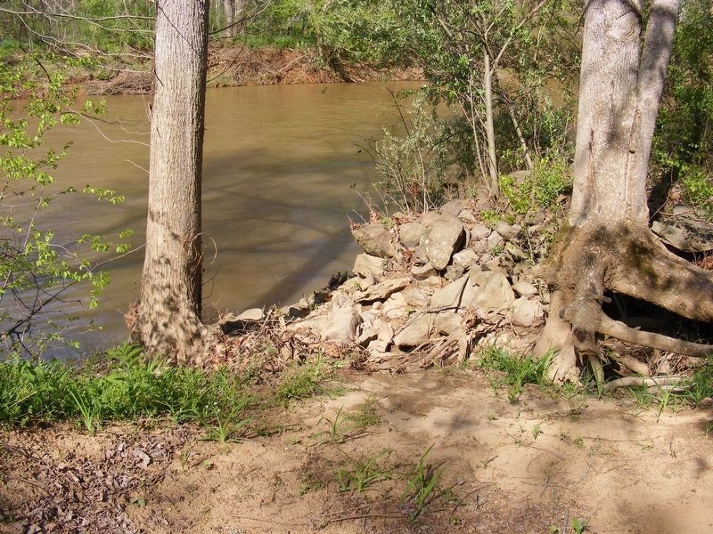
Near Kelly's Ford in Culpeper County, Virginia — The American South (Mid-Atlantic)
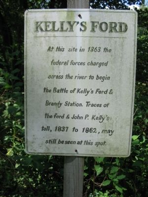
Kelly's Ford
Topics. This historical marker is listed in this topic list: War, US Civil. A significant historical year for this entry is 1863.
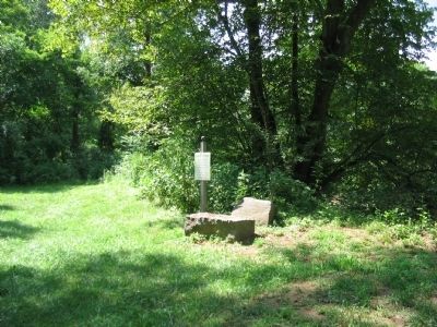
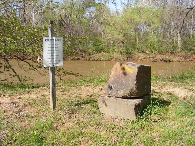
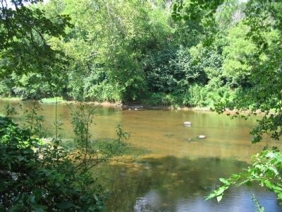
Location. 38° 28.545′ N, 77° 46.722′ W. Marker is near Kelly's Ford, Virginia, in Culpeper County. Marker can be reached from Edwards Shop Road, on the right when traveling south. Located along the banks of the Rappahannock River in a small plot of ground held by the Civil War Preservation Trust. See commentary to see the best ways to visit this marker location. Touch for map. Marker is in this post office area: Remington VA 22734, United States of America. Touch for directions.
Other nearby markers. At least 8 other markers are within 4 miles of this marker, measured as the crow flies. The Battle of Brandy Station (approx. ¼ mile away); a different marker also named Kelly’s Ford (approx. ¼ mile away); The Battle of Kelly's Ford (approx. ¼ mile away); a different marker also named Battle of Kelly’s Ford (approx. half a mile away); Major John Pelham, C.S.A. (approx. 1.1 miles away); "Chestnut Lawn" (approx. 1.6 miles away); a different marker also named Battle of Kelly's Ford (approx. 3.3 miles away); a different marker also named Battle of Kelly's Ford (approx. 3.3 miles away). Touch for a list and map of all markers in Kelly's Ford.
Additional commentary.
1. Access to the Site
There are two ways to access the site. For those who prefer to see more of the ground, park at the boat ramp at the modern Kelly's Ford bridge. A short trail along the Rappahannock River leads to the marker. Along the way are several earthwork remains dating to the Civil War.
Visitors may drive directly to the site by way of an unmarked gravel road that passes through the Kelly's Ford Inn property. Inquire at the Inn for more details.
— Submitted August 2, 2009, by Craig Swain of Leesburg, Virginia.
2.
The boat ramp and parking area by the modern bridge is now owned by the state Department of Game and Inland Fisheries as part of a nearby wildlife management area, and is by permit only. Do not park here or you will be ticketed. It is patrolled and monitored by the hour. Note To Editor only visible by Contributor and editor
— Submitted May 10, 2017, by Pete Payette of Orange, Virginia.
Photographed By Craig Swain, August 1, 2009
5. Road Trace
The road met a fork just past the bridge/ford site. The trace of a road that ran south toward the Rapidan River, (Ely's and Germannia Fords) appears as a sunken cut beside the river bank. The other road ran northwest toward the Old Carolina Road, Brandy Station, and Culpeper.
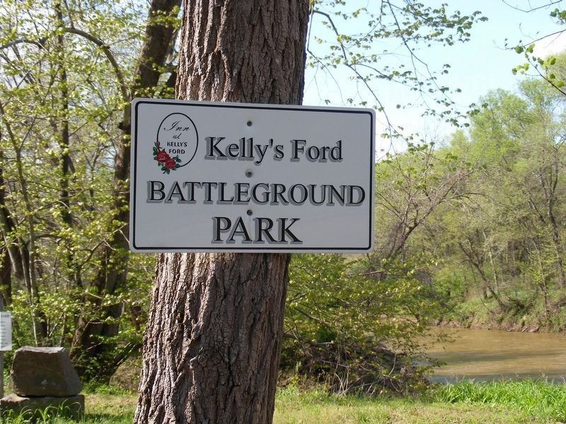
Photographed By Pete Payette, April 23, 2015
7. Kelly's Ford Battleground Park
This site is now managed by the Inn at Kelly's Ford. Access can be obtained only by prior arrangement with the Inn. Site parking for the general public is no longer allowed at the adjacent Kelly's Ford boat ramp, which is by permit only, through the Virginia Dept. of Game and Inland Fisheries.
Credits. This page was last revised on May 22, 2017. It was originally submitted on August 2, 2009, by Craig Swain of Leesburg, Virginia. This page has been viewed 2,962 times since then and 65 times this year. It was the Marker of the Week March 17, 2013. Photos: 1, 2. submitted on August 2, 2009, by Craig Swain of Leesburg, Virginia. 3. submitted on May 20, 2017, by Pete Payette of Orange, Virginia. 4, 5. submitted on August 2, 2009, by Craig Swain of Leesburg, Virginia. 6, 7. submitted on May 20, 2017, by Pete Payette of Orange, Virginia.
