Ormond Beach in Volusia County, Florida — The American South (South Atlantic)
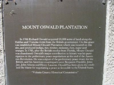
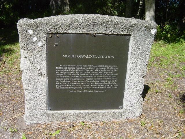
Mount Oswald Plantation
Erected by Volusia County Historical Commission.
Topics and series. This historical marker is listed in these topic lists: Agriculture • Colonial Era • War, US Revolutionary. In addition, it is included in the Former U.S. Presidents: #02 John Adams series list. A significant historical year for this entry is 1766.
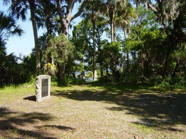
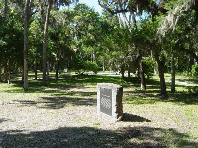
Location. 29° 21.267′ N, 81° 5.417′ W. Marker is in Ormond Beach, Florida, in Volusia County. This marker is west of a loop at the northernmost point (dead end) of the main road inside Tomoka State Park. From the park entrance (2099 N Beach Street, Ormond Beach, FL) follow the main park road north to its end. Marker is about 50 feet west of the road, and about 100 feet north of a picnic shelter/restroom building. Touch for map. Marker is in this post office area: Ormond Beach FL 32174, United States of America. Touch for directions.
Other nearby markers. At least 8 other markers are within 5 miles of this marker, measured as the crow flies. The Timucua (within shouting distance of this marker); Nocoroco (within shouting distance of this marker); Tomoka Point (about 500 feet away, measured in a direct line); Dummitt Plantation Mill Ruins (approx. one mile away); World War II Coastal Watch Tower (approx. 1.6 miles away); Old King's Road (approx. 2.3 miles away); Ormond Tomb (approx. 3.3 miles away); First Christian Marriage In North America (approx. 4.4 miles away). Touch for a list and map of all markers in Ormond Beach.
Related marker. Click here for another marker that is related to this marker. To better understand the relationship, study each marker in the order shown.
Also see . . . Tomoka State Park. Describes the park in which this monument is located. (Submitted on August 2, 2009.)
Credits. This page was last revised on October 28, 2020. It was originally submitted on August 2, 2009. This page has been viewed 2,596 times since then and 59 times this year. Photos: 1, 2, 3, 4. submitted on August 2, 2009. • Bill Pfingsten was the editor who published this page.


