Port Royal in Caroline County, Virginia — The American South (Mid-Atlantic)
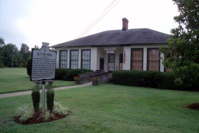
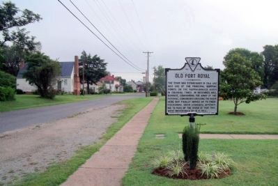
Old Port Royal
Erected 1928 by Conservation & Development Commission. (Marker Number N-17.)
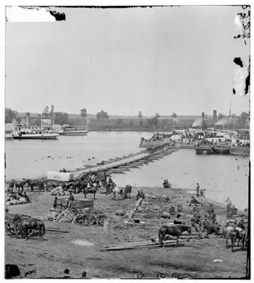
Topics and series. This historical marker is listed in these topic lists: Colonial Era • Settlements & Settlers • War, US Civil • Waterways & Vessels. In addition, it is included in the Virginia Department of Historic Resources (DHR) series list. A significant historical month for this entry is December 1862.
Location. 38° 10.148′ N, 77° 11.528′ W. Marker is in Port Royal, Virginia, in Caroline County. Marker is on King Street, 0.1 miles north of Cumberland Street, on the right when traveling north. Touch for map. Marker is in this post office area: Port Royal VA 22535, United States of America. Touch for directions.
Other nearby markers. At least 8 other markers are within walking distance of this marker. The Sacred Lot (about 300 feet away, measured in a direct line); Port Royal (about 600 feet away); The Fox Tavern: A Colonial Landmark (approx. 0.2 miles away); Dorothy Roy (approx. 0.2 miles away); St. Peter's Church (approx. 0.2 miles away); The Earliest Inhabitants: Native Americans (approx. 0.2 miles away); a different marker also named Port Royal (approx. ¼ mile away); a different marker also named Port Royal (approx. 0.3 miles away). Touch for a list and map of all markers in Port Royal.
Also see . . .
1. Welcome To Historic Port Royal. Historic Port Royal, Inc. (Submitted on August 8, 2009, by Bernard Fisher of Richmond, Virginia.)
2. Port Royal Historic District (PDF file). National Register of Historic Places (Submitted on December 9, 2009, by Bernard Fisher of Richmond, Virginia.)
Credits. This page was last revised on July 3, 2021. It was originally submitted on August 8, 2009, by Bernard Fisher of Richmond, Virginia. This page has been viewed 2,566 times since then and 95 times this year. Photos: 1, 2, 3, 4. submitted on August 8, 2009, by Bernard Fisher of Richmond, Virginia. 5. submitted on September 7, 2009, by Bernard Fisher of Richmond, Virginia.


