Smyrna in Cobb County, Georgia — The American South (South Atlantic)
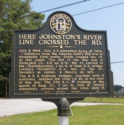
Here Johnston’s River Line Crossed the Rd.
The R.R. & highway bridges, together with 3 pontoons, spanned the river 1.5 mi. to the rear of this line. The 23d A.C. [US] crossing at the mouth of Soap Cr., 7 mi. N., July 8, forced Johnston’s retreat across the river, July 9.
Erected 1954 by Georgia Historical Commission. (Marker Number 033-79.)
Topics and series. This historical marker is listed in this topic list: War, US Civil. In addition, it is included in the Georgia Historical Society series list. A significant historical date for this entry is July 5, 1777.
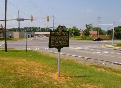
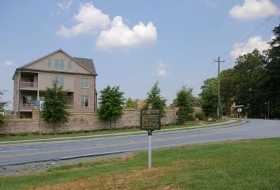
Location. 33° 50.147′ N, 84° 28.198′ W. Marker is in Smyrna, Georgia, in Cobb County. Marker is at the intersection of Plant Atkinson Road and Atlanta Road (Georgia Route 3), on the right when traveling east on Plant Atkinson Road. Touch for map. Marker is in this post office area: Atlanta GA 30339, United States of America. Touch for directions.
Other nearby markers. At least 8 other markers are within 2 miles of this marker, measured as the crow flies. Collins Springs Primitive Baptist Church (approx. 0.7 miles away); Montgomery's Ferry (approx. 1.1 miles away); Fort Peach Tree (approx. 1.1 miles away); Standing Peach Tree (approx. 1.1 miles away); Johnston’s Army Crossed the River (approx. 1.2 miles away); Second Shoupade (approx. 1.2 miles away); Artillery Redan (approx. 1.2 miles away); Fort Peachtree, War of 1812 (approx. 1.2 miles away). Touch for a list and map of all markers in Smyrna.
Credits. This page was last revised on May 29, 2020. It was originally submitted on August 9, 2009, by David Seibert of Sandy Springs, Georgia. This page has been viewed 1,001 times since then and 15 times this year. Photos: 1, 2, 3. submitted on August 9, 2009, by David Seibert of Sandy Springs, Georgia. • Craig Swain was the editor who published this page.


