Glen Arm in Baltimore County, Maryland — The American Northeast (Mid-Atlantic)
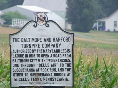
The Baltimore and Harford Turnpike Company
Inscription.
Authorized by the Maryland Legislature in 1816 to open a road from Baltimore City with two branches, one through “Belle Air” to the Susquehanna at Rock Run, and the other to Susquehanna Bridge at McCall’s Ferry, Pennsylvania.
Erected 1937 by State Roads Commission.
Topics. This historical marker is listed in these topic lists: Industry & Commerce • Roads & Vehicles • Waterways & Vessels. A significant historical year for this entry is 1816.
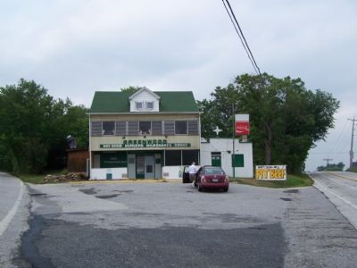
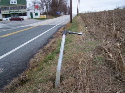
Location. Marker is missing. It was located near 39° 26.091′ N, 76° 29.251′ W. Marker was in Glen Arm, Maryland, in Baltimore County. Marker was at the intersection of Harford Road (Maryland Route 147) and Long Green Pike, on the right when traveling north on Harford Road. Touch for map. Marker was in this post office area: Kingsville MD 21087, United States of America. Touch for directions.
Other nearby markers. At least 8 other markers are within 3 miles of this location, measured as the crow flies. Gunpowder Copper Works (approx. 0.9 miles away); Germantown (approx. 2 miles away); The Baltimore Embroidery / The Tanner Homestead (approx. 2 miles away); Perry Hall (approx. 2 miles away); Gunpowder Falls State Park (approx. 2.4 miles away); Harry Dorsey Gough (approx. 2.4 miles away); Indian Rock (approx. 2.4 miles away); The Sweathouse Road (approx. 2.9 miles away).
Credits. This page was last revised on June 16, 2016. It was originally submitted on July 29, 2007, by Bill Pfingsten of Bel Air, Maryland. This page has been viewed 2,298 times since then and 40 times this year. Last updated on August 10, 2009, by John T. Marck of Glen Arm, Maryland. Photos: 1, 2. submitted on July 29, 2007, by Bill Pfingsten of Bel Air, Maryland. 3. submitted on December 22, 2007, by Bill Pfingsten of Bel Air, Maryland. • Kevin W. was the editor who published this page.


