Houlton in St. Croix County, Wisconsin — The American Midwest (Great Lakes)
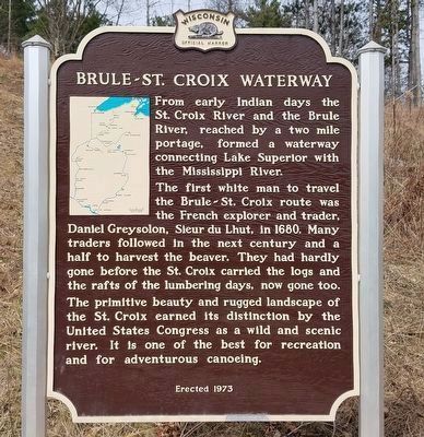
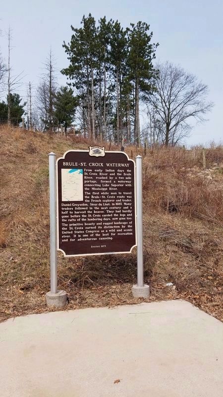
Brule-St. Croix Waterway
The first white man to travel the Brule-St. Croix route was the French explorer and trader, Daniel Greysolon, Sieur du Lhut, in 1680. Many traders followed in the next century and a half to harvest the beaver. They had hardly gone before the St. Croix carried the logs and the rafts of the lumbering days, now gone too.
The primitive beauty and rugged landscape of the St. Croix earned its distinction by the United States Congress as a wild and scenic river. It is one of the best for recreation and for adventurous canoeing.
Erected 1973 by the Wisconsin Historical Society. (Marker Number 200.)
Topics and series. This historical marker is listed in this topic list: Waterways & Vessels. In addition, it is included in the Wisconsin Historical Society series list. A significant historical year for this entry is 1680.
Location. 45° 2.817′ N, 92° 46.863′ W. Marker is in Houlton, Wisconsin, in St. Croix County. Marker can be reached from Wisconsin Route 64 just south of Wisconsin Route 35, on the right when traveling south. Touch for map. Marker is in this post office area: Houlton WI 54082, United States of America. Touch for directions.
Other nearby markers. At least 8 other markers are within walking distance of this marker. Home to Bald Eagles (about 800 feet away, measured in a direct line); Protecting the Watershed (approx. 0.2 miles away); Migration (approx. 0.2 miles away); White Pine Treaty (approx. 0.4 miles away); Steamboats on the St. Croix (approx. 0.4 miles away in Minnesota); Where's the State Boundary? (approx. 0.4 miles away in Minnesota); Wisconsin Symbols (approx. 0.4 miles away); St. Croix Crossing (approx. 0.6 miles away in Minnesota). Touch for a list and map of all markers in Houlton.
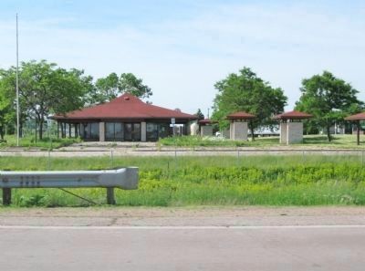
More about this marker. Marker was moved from the former I-94 Travel Information center, west of Carmichael Road, in Hudson (about 9 miles south of this new location).
Regarding Brule-St. Croix Waterway. The two mile portage is located near Solon Springs in Douglas County.
Also see . . . WDNR - Brule River State Forest. “A little less than two miles in length, one-way, this portage trail was used for centuries by Native Americans, explorers, traders, trappers, and missionaries as an important link between Lake Superior and the Mississippi River via the Brule and St. Croix Rivers. Daniel Greysolon Sieur du Lhut first recorded the trail’s existence in 1680. He was followed by many notables
Photographed By Fitzie Heimdahl, April 11, 2020
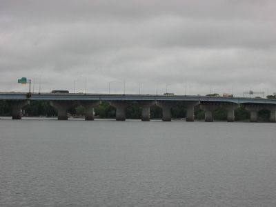
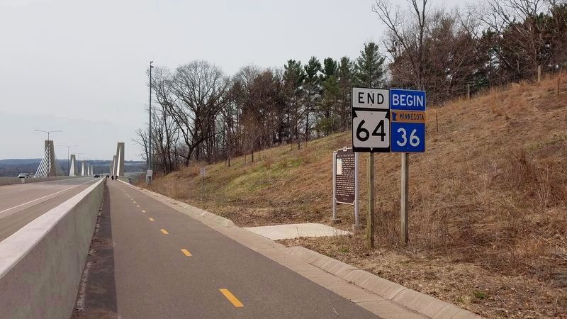
2. View of marker looking south towards the St. Croix River Crossing Bridge.
The bridge, opened in 2017, is only the second of its kind in the U.S. and spans the St. Croix River, between Oak Park Heights, Minnesota and St. Joseph, Wisconsin. It is an extradosed bridge that employs a structure that combines the main elements of both a prestressed box girder bridge and a cable-stayed bridge.
Credits. This page was last revised on April 11, 2020. It was originally submitted on August 24, 2007, by Keith L of Wisconsin Rapids, Wisconsin. This page has been viewed 2,240 times since then and 36 times this year. Photos: 1, 2, 3. submitted on April 11, 2020, by Fitzie Heimdahl of Eau Claire, Wisconsin. 4, 5. submitted on August 24, 2007, by Keith L of Wisconsin Rapids, Wisconsin. 6. submitted on June 14, 2011, by Keith L of Wisconsin Rapids, Wisconsin. • J. J. Prats was the editor who published this page.
