Fort Wadsworth on Staten Island in Richmond County, New York — The American Northeast (Mid-Atlantic)
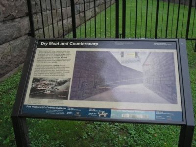
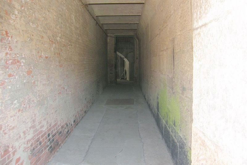
Dry Moat and Counterscarp
Fort Wadsworth
— Gateway Nat’l Rec Area, National Park Service, U.S. Department of the Interior —
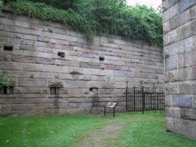
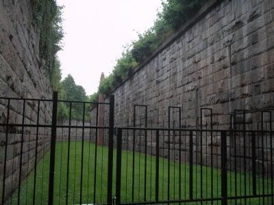
Within the counterscarp, a gallery allowed soldiers to shoot through the wall’s vertical slots as well as from behind the fort’s scarp wall through alternating gun slots. Attackers crossing the moat would face a deadly crossfire. However, Fort Tompkins and its defenses were never challenged – evidence of their effectiveness.
Erected by National Park Service, U.S. Department of the Interior.
Topics. This historical marker is listed in these topic lists: Forts and Castles • Military. A significant historical year for this entry is 1859.
Location. 40° 36.261′ N, 74° 3.379′ W. Marker is on Staten Island, New York, in Richmond County. It is in Fort Wadsworth. Marker is on Tompkins Street, on the left when traveling north. Marker is located in the Fort Wadsworth Unit of Gateway National Recreation Area. Touch for map. Marker is in this post office area: Staten Island NY 10305, United States of America. Touch for directions.
Other nearby markers. At least 8 other markers are within walking distance of this marker. Battery Duane (within shouting distance of this marker); Fort Wadsworth (about 300 feet away, measured in a direct line); Fort Tompkins (about 300 feet away); Defending New York Harbor (about 300 feet away); Battery Weed (about 300 feet away); Verrazano – Narrows Bridge (about 300 feet away); a different marker also named Fort Wadsworth (about 500 feet away); Torpedo Building (about 600 feet away). Touch for a list and map of all markers in Staten Island.
More about this marker. The background of the marker contains an illustration of the second Fort Tompkins’ Scarp (or outer wall), Counterscarp Gallery and Dry Moat. It explains the field of fire of defending soldiers and why the soldiers could not shoot each other. The bottom left of the marker features a picture of Fort Tompkins and Battery Weed in New York Harbor. It has a caption of “The counterscarp gallery was part of New York’s defense system. It provided Fort Tompkins, which protected Battery Weed below, which protected the Narrows entrance into New York Harbor.”
The bottom of the marker contains illustrations of Fort Wadsworth’s Defense Systems during different time periods: First System Defenses, 1794 – 1807; Second System Defenses, 1807 – 1817; Third System Defenses, 1817 – 1876 (which includes Battery
Weed); and Endicott System Defenses, 1890 – 1910.
Also see . . . Fort Wadsworth. Wikipedia entry. (Submitted on May 14, 2020, by Larry Gertner of New York, New York.)
Credits. This page was last revised on September 19, 2023. It was originally submitted on August 15, 2009, by Bill Coughlin of Woodland Park, New Jersey. This page has been viewed 1,406 times since then and 94 times this year. Photos: 1, 2, 3, 4. submitted on August 15, 2009, by Bill Coughlin of Woodland Park, New Jersey. 5. submitted on May 10, 2020, by Larry Gertner of New York, New York.
