Batesburg-Leesville in Lexington County, South Carolina — The American South (South Atlantic)
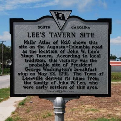
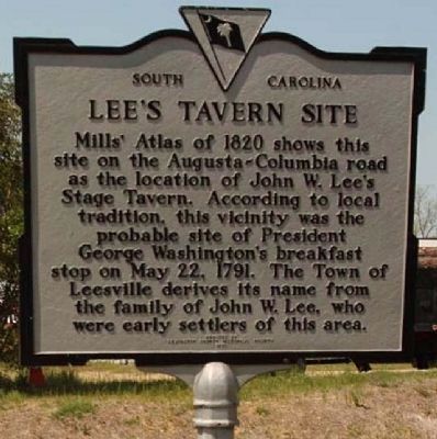
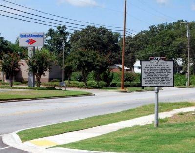
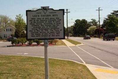
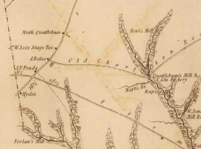
Lee's Tavern Site
Erected 1970 by Lexington County Historical Society. (Marker Number 32-9.)
Topics. This historical marker is listed in these topic lists: Industry & Commerce • Roads & Vehicles. A significant historical month for this entry is May 1812.
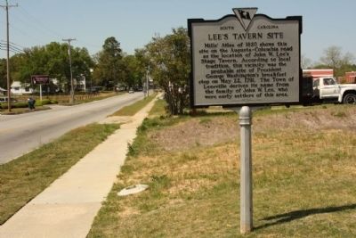
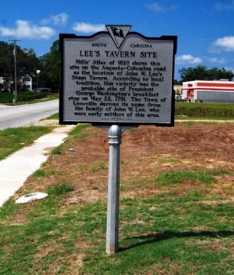
Location. 33° 54.65′ N, 81° 31.65′ W. Marker is in Batesburg-Leesville, South Carolina, in Lexington County. Marker is at the intersection of East Columbia Avenue and Trackside Court (U.S. 1) on East Columbia Avenue. Touch for map. Marker is at or near this postal address: 123 East Columbia Avenue, Leesville SC 29070, United States of America. Touch for directions.
Other nearby markers. At least 10 other markers are within 8 miles of this marker, measured as the crow flies. Old Batesburg-Leesville High School (about 600 feet away, measured in a direct line); Site of the "Swamp Rabbit" Bridge / The Swamp Rabbit (approx. 0.4 miles away); Hartley House (approx. 0.6 miles away); Blinding of Isaac Woodard (approx. 1.3 miles away); Batesburg Institute (approx. 1.4 miles away); Moorefield Memorial Highway (approx. 4.1 miles away); Pinarea / Quattlebaum Sawmill, Flour Mill, and Rifle Factory (approx. 6.1 miles away); Jacob Odom House (approx. 6.6 miles away); Delmar School (approx. 7.6 miles away); a different marker also named Delmar School (approx. 7.6 miles away). Touch for a list and map of all markers in Batesburg-Leesville.
Also see . . .
1. Welcome to Batesburg-Leesville, South Carolina. Official website of Batesburg-Leesville, SC. (Submitted on August 23, 2009, by Brian Scott of Anderson, South Carolina.)
2. Leesville, South Carolina. Batesburg-Leesville is a town in Lexington and Saluda counties in the U.S. state of South Carolina. (Submitted on August 23, 2009, by Brian Scott of Anderson, South Carolina.)
Credits. This page was last revised on January 15, 2024. It was originally submitted on August 23, 2009, by Brian Scott of Anderson, South Carolina. This page has been viewed 2,159 times since then and 98 times this year. Photos: 1. submitted on August 23, 2009, by Brian Scott of Anderson, South Carolina. 2. submitted on October 7, 2012, by Mike Stroud of Bluffton, South Carolina. 3. submitted on July 28, 2011, by Mike Stroud of Bluffton, South Carolina. 4, 5. submitted on August 23, 2009, by Brian Scott of Anderson, South Carolina. 6. submitted on July 28, 2011, by Mike Stroud of Bluffton, South Carolina. 7. submitted on August 23, 2009, by Brian Scott of Anderson, South Carolina.
