Leedstown near Colonial Beach in Westmoreland County, Virginia — The American South (Mid-Atlantic)
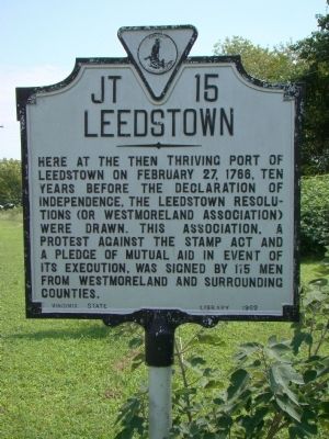
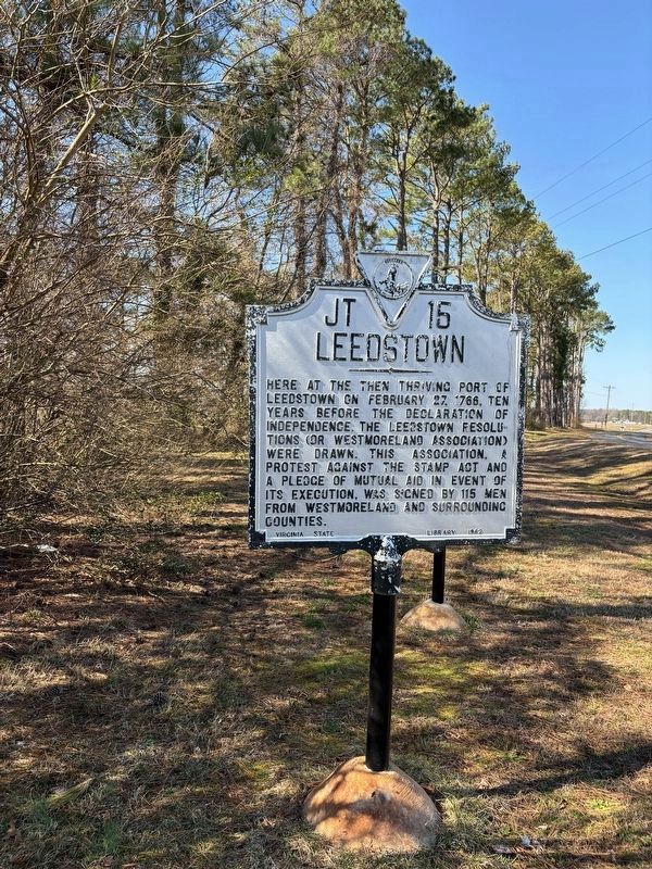
Leedstown
Erected 1962 by Virginia State Library. (Marker Number JT-15.)
Topics and series. This historical marker is listed in these topic lists: Colonial Era • War, US Revolutionary. In addition, it is included in the Virginia Department of Historic Resources (DHR) series list. A significant historical month for this entry is February 1721.
Location. 38° 6.684′ N, 77° 0.31′ W. Marker is near Colonial Beach, Virginia, in Westmoreland County. It is in Leedstown. Marker is on Leedstown Road (Route 637) just west of Drakes Marsh Drive, on the left when traveling east. Touch for map. Marker is at or near this postal address: 2195 Leedstown Rd, Colonial Beach VA 22443, United States of America. Touch for directions.
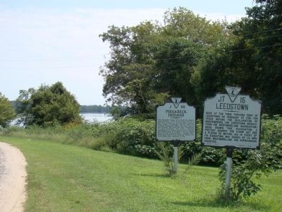
Other nearby markers. At least 8 other markers are within 5 miles of this marker, measured as the crow flies. Pissaseck Indians (a few steps from this marker); John Pratt Hungerford (within shouting distance of this marker); Early Settlement (approx. 3.1 miles away); Layton’s Landing Wharf and Ferry (approx. 3.1 miles away); Saunders’s Wharf (approx. 3.1 miles away); Vauter's Church (approx. 3.9 miles away); Portobacco Indians (approx. 4.3 miles away); Westmoreland Association (approx. 5 miles away).
More about this marker. Marker was reported missing in 2021. It was located near 38° 6.699′ N, 77° 0.051′ W. In 2009 it was on Leedstown Road (Route 637) west of Resolutions Road (County Route 641), on the right when traveling east.
Also see . . . Leedstown, Virginia, and the Leedstown Resolves. “Leedstown is located on the Rappahannock River in Westmoreland County, Virginia. From this now sleepy community on the Rappahannock River began the spark of independence from England and a revolution not seen since against taxation. The revolt was against the Stamp Act formulated by the sovereign George the Third, King of Great Britain.” (Submitted on September 1, 2009.)
Credits. This page was last revised on March 9, 2024. It was originally submitted on September 1, 2009, by J. J. Prats of Powell, Ohio. This page has been viewed 1,645 times since then and 110 times this year. Photos: 1. submitted on September 1, 2009, by J. J. Prats of Powell, Ohio. 2. submitted on March 9, 2024, by J. J. Prats of Powell, Ohio. 3. submitted on September 1, 2009, by J. J. Prats of Powell, Ohio.


