Paces in Atlanta in Fulton County, Georgia — The American South (South Atlantic)
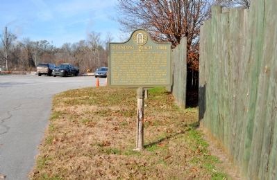
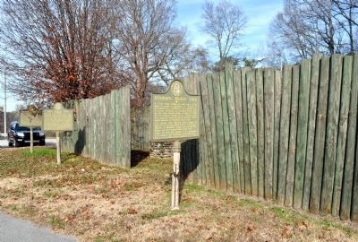
Standing Peach Tree
Erected 1955 by Georgia Historical Commission. (Marker Number 060-60.)
Topics and series. This historical marker is listed in these topic lists: Native Americans • Roads & Vehicles • Settlements & Settlers. In addition, it is included in the Georgia Historical Society, and the Historic Trees series lists. A significant historical date for this entry is May 27, 1854.
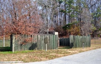
Location. 33° 49.681′ N, 84° 27.233′ W. Marker is in Atlanta, Georgia, in Fulton County. It is in Paces. Marker is on the Atlanta Waterworks pumping station access road, 0.3 miles west of Ridgewood Road NW, on the right when traveling west. At the replica of Fort Peachtree, located at the City of Atlanta Waterworks pumping station, off Ridgewood Road. The site is currently closed to the public. Touch for map. Marker is at or near this postal address: 2630 Ridgewood Road NW, Atlanta GA 30327, United States of America. Touch for directions.
Other nearby markers. At least 8 other markers are within one mile of this marker, measured as the crow flies. Fort Peach Tree (here, next to this marker); Montgomery's Ferry (a few steps from this marker); Fort Peachtree, War of 1812 (approx. 0.4 miles away); Johnston’s Army Crossed the River (approx. 0.6 miles away); Montgomery Cemetery (approx. 0.6 miles away); Battle at Moore’s Mill (approx. 0.7 miles away); Moore's Mill (approx. 0.7 miles away); Here Johnston’s River Line Crossed the Rd. (approx. 1.1 miles away). Touch for a list and map of all markers in Atlanta.
Credits. This page was last revised on February 8, 2023. It was originally submitted on September 1, 2009, by Clayton Chambers of Senoia, Georgia. This page has been viewed 1,442 times since then and 31 times this year. Photos: 1. submitted on September 1, 2009, by Clayton Chambers of Senoia, Georgia. 2, 3, 4. submitted on January 7, 2012, by David Seibert of Sandy Springs, Georgia. • Kevin W. was the editor who published this page.


