Near Warm Springs in Meriwether County, Georgia — The American South (South Atlantic)
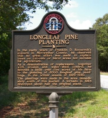
Longleaf Pine Planting
As a demonstration of replacement, together with erosion and water-shed control, he devoted a little over five acres of his farm to the planting of 5000 longleaf pine seedlings, in the winter season of 1929-1930.
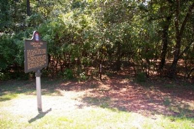
The plantings were made in the area immediately south of this marker. A tornado in 1954 destroyed about half the original stand.
Erected 1957 by Georgia Historical Commission. (Marker Number 099-6.)
Topics and series. This historical marker is listed in these topic lists: Agriculture • Horticulture & Forestry. In addition, it is included in the Former U.S. Presidents: #32 Franklin D. Roosevelt, and the Georgia Historical Society series lists.
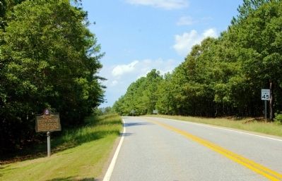
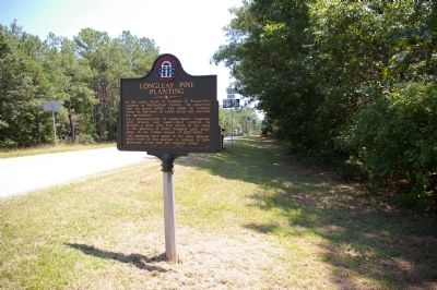
Location. 32° 50.949′ N, 84° 42.075′ W. Marker is near Warm Springs, Georgia, in Meriwether County. Marker is on U.S. 190, 0.1 miles west of White House Parkway (Route 85W), on the right when traveling east. Touch for map. Marker is in this post office area: Warm Springs GA 31830, United States of America. Touch for directions.
Other nearby markers. At least 8 other markers are within 3 miles of this marker, measured as the crow flies. Roosevelt Farm (approx. 0.2 miles away); Dowdell's Knob (approx. 2.2 miles away); Franklin Delano Roosevelt (approx. 2.4 miles away); The Little White House (approx. 2.4 miles away); Franklin D. Roosevelt (approx. 2.6 miles away); This Was His Georgia (approx. 2.6 miles away); Georgia Warm Springs Foundation (approx. 3 miles away); a different marker also named Franklin D. Roosevelt (approx. 3 miles away). Touch for a list and map of all markers in Warm Springs.
Credits. This page was last revised on November 16, 2019. It was originally submitted on September 4, 2009, by David Seibert of Sandy Springs, Georgia. This page has been viewed 1,240 times since then and 41 times this year. Photos: 1, 2, 3, 4. submitted on September 4, 2009, by David Seibert of Sandy Springs, Georgia. • Bill Pfingsten was the editor who published this page.


