Brunswick Town State Historic Site in Brunswick County, North Carolina — The American South (South Atlantic)
Russelborough
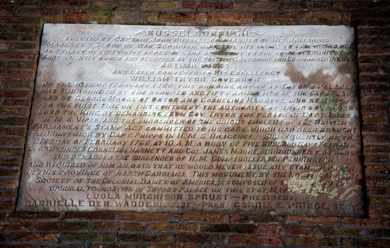
Erected by Captain John Russell, Commander of His Britannic Majesty's Sloop of War Scorpion, who gave his name to this residence and tract of fifty-five acres of land adjacent to the town of Brunswick. Subsequently owned and occupied by the British Governor and Commander in Chief,
and later conveyed to His Excellency
William Tryon, Governor.
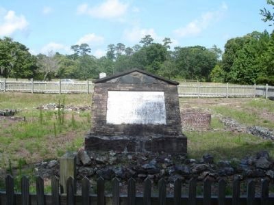
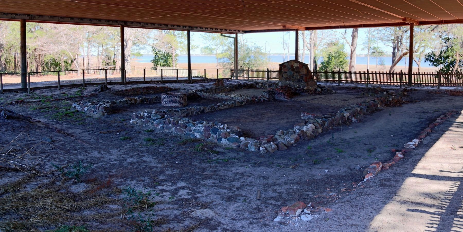
On the 10th of February 1766, this building, known as Tryon's Palace, was surrounded by one hundred and fifty armed men of the Cape Fear, led by George Moore of Orton and Cornelius Harnett who resisted for the first time on this continent the authority of their sovereign lord the King, by demanding from Gov. Tryon the person of Capt. Lobb, H. M. S. Viper, and the surrender of the odious emblems of the British Parliament's Stamp Act committed to his care which had been brought to Brunswick by Capt. Phipps in H. M. S. Diligence. Subsequently, on the 21st day of February 1766, at 10 A. M. a body of five hundred Cape Fear men, in arms, under Cornelius Harnett and Col. James Moore, surrounded this house and demanded the surrender of H. M. Comptroller, Mr. Pennington, and required of him an oath that he would never issue any stamped paper in this province of North Carolina. This monument, by the North Carolina Society of the Colonial Dames of America, is composed of stones from the original foundation of Tryon's Palace on this spot, May 5th. 1909.
Luola Murchison Sprunt -- President.
Gabrielle De R. Waddell, Vice-Pres. Carrie E. Prince, Secy.
Erected 1909 by North Carolina Society of the Colonial Dames of America.
Topics and series. This historical marker is listed in these topic lists: Notable Events • War, US Revolutionary. In addition, it is included in the The Colonial Dames of America, National Society of series list. A significant historical date for this entry is February 10, 1766.
Location. 34° 2.707′ N, 77° 56.85′ W. Marker is in Brunswick Town State Historic Site, North Carolina, in Brunswick County. Marker can be reached from St. Philip's Road SE. Touch for map. Marker is at or near this postal address: 8884 St Philip's Road SE, Winnabow NC 28479, United States of America. Touch for directions.
Other nearby markers. At least 8 other markers are within 2 miles of this marker, measured as the crow flies. Russellborough (within shouting distance of this marker); Brunswick Town State Historic Site (approx. 0.4 miles away); John LaPierre (approx. 0.4 miles away); Fort Anderson (approx. 0.4 miles away); Colonel Maurice Moore (approx. 0.4 miles away); a different marker also named Fort Anderson (approx. 0.4 miles away); Orton Plantation (approx. 1.4 miles away); St. Philips Church (approx. 1.6 miles away).
Credits. This page was last revised on June 22, 2021. It was originally submitted on September 11, 2009, by Kevin W. of Stafford, Virginia. This page has been viewed 1,342 times since then and 53 times this year. Photos: 1. submitted on February 25, 2017, by J. J. Prats of Powell, Ohio. 2. submitted on September 5, 2009, by Gregory Guderian of Belleville, New Jersey. 3. submitted on February 25, 2017, by J. J. Prats of Powell, Ohio.


