Cataula in Harris County, Georgia — The American South (South Atlantic)
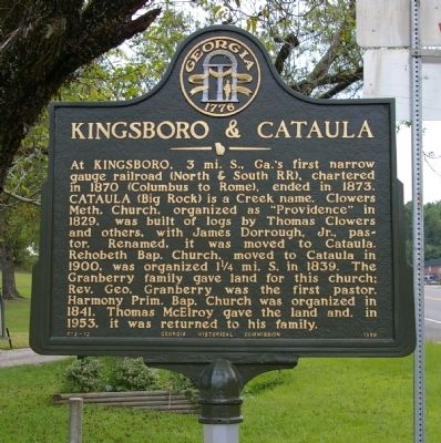
Kingsboro & Cataula
Erected 1958 by Georgia Historical Commission. (Marker Number 072-12.)
Topics and series. This historical marker is listed in these topic lists: Churches & Religion • Railroads & Streetcars. In addition, it is included in the Georgia Historical Society series list. A significant historical year for this entry is 1870.
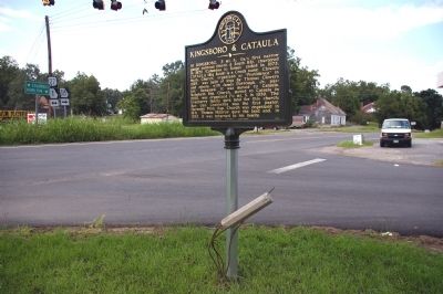
Location. 32° 39.305′ N, 84° 52.125′ W. Marker is in Cataula, Georgia, in Harris County. Marker is at the intersection of Hamilton Road (U.S. 27) and Denney Road (Route 315), on the right when traveling north on Hamilton Road. Touch for map. Marker is in this post office area: Cataula GA 31804, United States of America. Touch for directions.
Other nearby markers. At least 8 other markers are within 8 miles of this marker, measured as the crow flies. The Wire Road (approx. 4.2 miles away); Fortson House/The Fortson Community (approx. 5.2 miles away); Fortson General Store (approx. 5.2 miles away); Richard Christmas (approx. 6.3 miles away); “Blind Tom” (approx. 6.6 miles away); Hamilton Female College (approx. 6.8 miles away); Columbus Baptist Association (approx. 7.1 miles away); Camp McKenzie (approx. 7.1 miles away).

Photographed By David Seibert, August 25, 2009
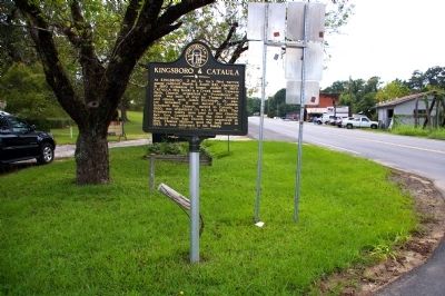
3. Kingsboro & Cataula Marker
Looking northeast at the intersection: Hamilton Road (US 27) is to the left, and Denney Road (GA 315) goes to the right. The marker has recently been renovated and placed on a new pole; normally the broken pole would have been removed.
Credits. This page was last revised on June 16, 2016. It was originally submitted on September 13, 2009, by David Seibert of Sandy Springs, Georgia. This page has been viewed 1,420 times since then and 76 times this year. Photos: 1, 2, 3. submitted on September 13, 2009, by David Seibert of Sandy Springs, Georgia. • Craig Swain was the editor who published this page.

