Near Green Bay in Brown County, Wisconsin — The American Midwest (Great Lakes)
Red Banks
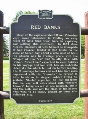
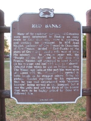
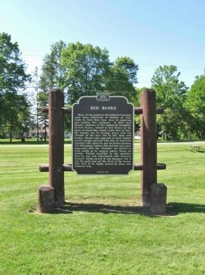
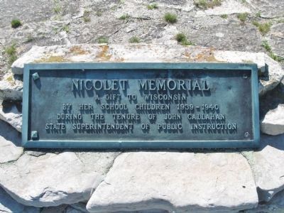
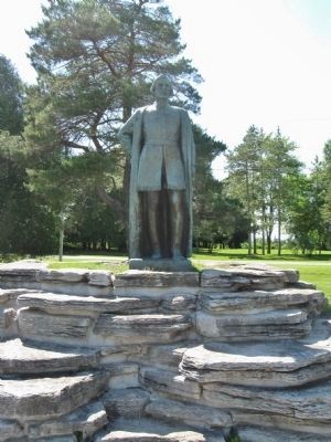
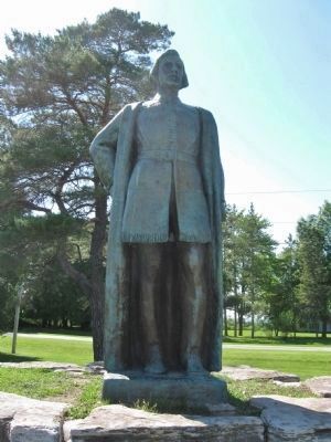
Many of the explorers who followed Columbus were more interested in finding an easy route to Asia than they were in exploring and settling this continent. In 1634 Jean Nicolet, emissary of Gov. Samuel de Champlain of New France, landed at Red Banks on the shore of Green Bay about a mile west of here. His mission was to arrange peace with the "People of the Sea" and to ally them with France. Nicolet half expected to meet Asiatics on his voyage and had with him an elaborate Oriental robe which he put on before landing. The Winnebago Indians who met him were more impressed with the "thunder" he carried in both hands as he stepped ashore firing his pistols. Nicolet reported to his superiors that he was well entertained with "sixscore beavers" being served at one banquet, but it was the pelts and not the flesh of the beaver that were to be highly prized by those who followed him.
Erected 1957 by the Wisconsin Historical Society. (Marker Number 62.)
Topics and series. This historical marker is listed in these topic lists: Exploration • Native Americans. In addition, it is included in the Wisconsin Historical Society series list. A significant historical year for this entry is 1634.
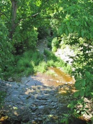
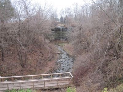
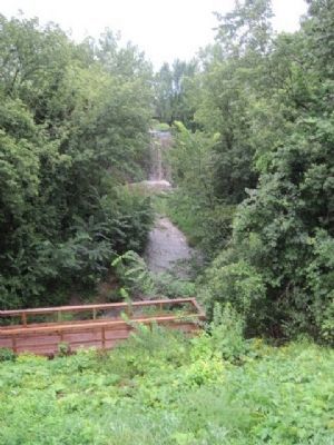
Location. 44° 34.147′ N, 87° 52.721′ W. Marker is near Green Bay, Wisconsin, in Brown County. Marker can be reached from Bay Settlement Road north of Van Laanen Road, on the right when traveling north. Marker is in Wequiock Falls County Park. Touch for map. Marker is in this post office area: Green Bay WI 54311, United States of America. Touch for directions.
Other nearby markers. At least 8 other markers are within walking distance of this marker. The Beaudhuin Village Site: A North Bay Middle Woodland Camp (about 500 feet away, measured in a direct line); Fabry Creek (Boss Tavern): A Multi-component Site (about 500 feet away); From First Americans to Euroamericans (about 500 feet away); Delfosse-Allard: A Multi-component Site (about 500 feet away); The WIS 57 Reconstruction Project in Brown, Kewaunee, and Door Counties (about 500 feet away); The Holdorf Site: A Chipped Stone Workshop/The Christoff Site: A Prehistoric Campsite (about 500 feet away); Transportation Archaeology on the WIS 57 Project (about 500 feet away); Heyrman I: A Multi-component Workshop and Campsite (about 500 feet away).
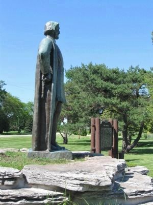
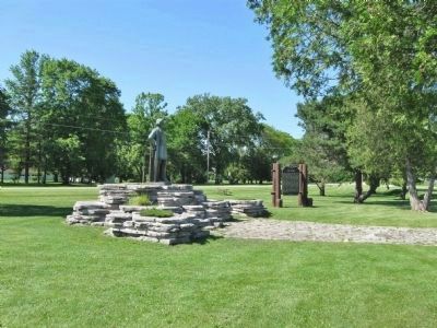
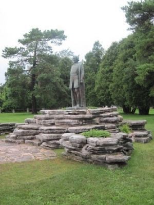
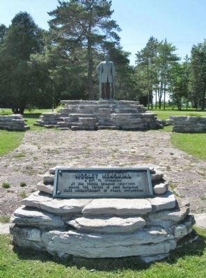
More about this marker. The marker and statue were relocated and rededicated in 2009. The marker and statue originally stood three miles to the north along State Highway 57, but the rerouting of the two-lane highway to a new divided highway made access to the site difficult.
Also see . . .
1. Green Bay, Wisconsin. Wikipedia entry (Submitted on February 3, 2022, by Larry Gertner of New York, New York.)
2. Wequiock Falls. Great Lakes Waterfalls and beyond website entry (Submitted on September 14, 2009.)
Credits. This page was last revised on February 3, 2022. It was originally submitted on September 14, 2009, by Keith L of Wisconsin Rapids, Wisconsin. This page has been viewed 3,601 times since then and 216 times this year. Photos: 1. submitted on July 8, 2013, by Keith L of Wisconsin Rapids, Wisconsin. 2. submitted on September 14, 2009, by Keith L of Wisconsin Rapids, Wisconsin. 3, 4, 5. submitted on July 8, 2013, by Keith L of Wisconsin Rapids, Wisconsin. 6. submitted on December 13, 2010, by Bob (peach) Weber of Dewey, Arizona. 7, 8, 9, 10, 11. submitted on July 8, 2013, by Keith L of Wisconsin Rapids, Wisconsin. 12. submitted on December 14, 2010, by Bob (peach) Weber of Dewey, Arizona. 13. submitted on December 15, 2010, by Bob (peach) Weber of Dewey, Arizona. • Craig Swain was the editor who published this page.
