Savage in Howard County, Maryland — The American Northeast (Mid-Atlantic)
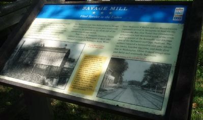
Savage Mill
Vital Service to the Union
The mill town of Savage served a vital need for the United States Army after the Civil War began in 1861. William Baldwin who had purchased the mills in 1859 manufactured canvas for cannon covers and tents. Although cotton was in short supply, Baldwin succeeded in acquiring enough to keep the mill operating.
The Baltimore and Ohio Railroad Line transported Federal troops who occasionally camped in the meadow on the north side of Savage Switch.
Near here, at Annapolis Junction, Union soldiers en route to Washington in April 1861 managed to avoid the Baltimore Riots. When General Benjamin F. Butler and his Massachusetts regiments arrived in Annapolis by boat via the Chesapeake Bay, they found that Confederate sympathizers had destroyed much of the track and equipment of the Elkridge spur of the Baltimore and Ohio Railroad. The soldiers repaired a locomotive and cars, rebuilt the tracks, boarded the train and made their way to Washington. Other Federal troops occupied Relay and eventually Baltimore.
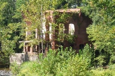
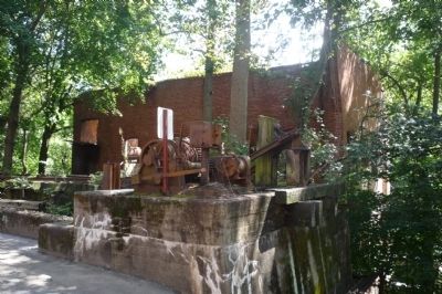
John Savage of Pennsylvania founded Savage Mill, among the oldest surviving textile mills in Maryland, and constructed this facility early in the 19th century. The stone carding and spinning building was built between 1816 and 1823. Mills have been here on the rapids of the Little Patuxent River since the mid-18th century. The Savage Manufacturing Company purchased the site in the 1820s, erected a large factory and installed machinery.
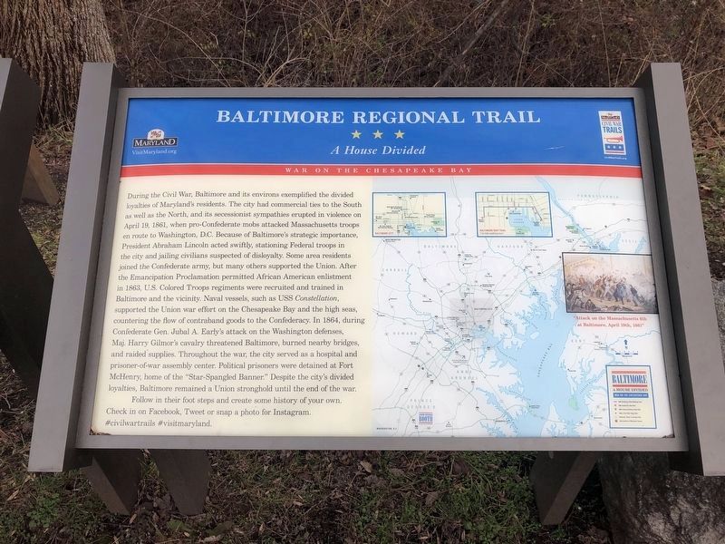
Erected by Maryland Civil War Trails.
Topics and series. This historical marker is listed in these topic lists: Industry & Commerce • Railroads & Streetcars • War, US Civil. In addition, it is included in the Baltimore and Ohio Railroad (B&O), and the Maryland Civil War Trails series lists. A significant historical month for this entry is April 1861.
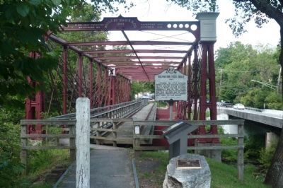
Location. 39° 8.076′ N, 76° 49.505′ W. Marker is in Savage, Maryland, in Howard County. Marker can be reached from Foundry Street north of Gorman Road when traveling west. The marker is on the Savage Mill Trail (Howard County Recreation and Parks Department), off Foundry Street, in the cluster of markers at the south end of the Bollman Iron Truss Bridge (National Historic Landmark) at the Little Patuxent River and west of U.S. Highway 1. Touch for map. Marker is at or near this postal address: 9040 Gorman Road, Savage MD 20763, United States of America. Touch for directions.
Other nearby markers. At least 8 other markers are within 2 miles of this marker, measured as the crow flies. Bollman Iron Truss Bridge (here, next to this marker); Historic Savage Mill (about 700 feet away, measured in a direct line); Baldwin Common (approx. 0.2 miles away); Carroll Baldwin Memorial Hall
(approx. 0.2 miles away); 9051-9053 Baltimore Street (approx. 0.2 miles away); Millworkers House (approx. ¼ mile away); This Survey Point (approx. 0.4 miles away); Maryland Purple Heart Trail (approx. 1.1 miles away). Touch for a list and map of all markers in Savage.
Credits. This page was last revised on September 14, 2022. It was originally submitted on September 14, 2009, by Richard E. Miller of Oxon Hill, Maryland. This page has been viewed 1,781 times since then and 36 times this year. Photos: 1, 2, 3, 4. submitted on September 14, 2009, by Richard E. Miller of Oxon Hill, Maryland. 5. submitted on January 1, 2019, by Devry Becker Jones of Washington, District of Columbia. • Craig Swain was the editor who published this page.
