Summerville in Dorchester County, South Carolina — The American South (South Atlantic)
Colonial Dorchester
State Historic Site
Inscription.
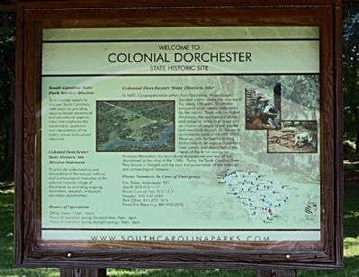
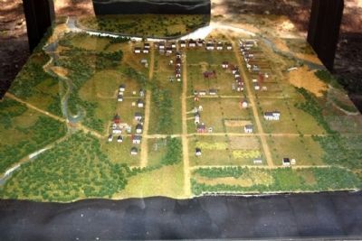
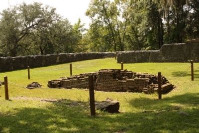
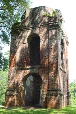
In 1697, Congregationalist settlers from Dorchester, Massachusetts, founded a town where you now stand. For nearly 100 years, Dorchester prospered as an inland trade center for the region. Trade with Native Americans, the development of rice and indigo as valuable cash crops and infusion of people (slave, planter and merchant) brought Dorchester to an economic peak in the mid 1700s. However, with the frontier shifting further inland, an improved overland road system, amid destruction at the hands of the British during the American Revolution, the town slowly disappeared and was all but abandoned at the close of the 1700s. Today, the South Carolina State Park Service is charged with care and preservation of this historical and archaeological treasure.
Colonial Dorchester State Historic Site Mission Statement
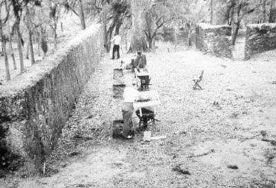
To promote understanding and stewardship of the natural, cultural, and archaeological resources of the colonial riverside village of Dorchester by providing ongoing excavation, research, and public education oppertunities.
Erected by South Carolina State Park Service.
Topics. This historical marker is listed in this topic list: Settlements & Settlers. A significant historical year for this entry is 1697.
Location. 32° 56.893′ N, 80° 10.163′ W. Marker is in Summerville, South Carolina, in Dorchester County. Marker is on State Park Road. .5 miles south of Dorchester Road ( State Road 642 ). Touch for map. Marker is in this post office area: Summerville SC 29485, United States of America. Touch for directions.
Other nearby markers. At least 8 other markers are within walking distance of this marker. Linking Places and People (a few steps from this marker); a different marker also named Colonial Dorchester (within shouting distance of this marker); Fort Dorchester (about 300 feet away, measured in a direct line); a different marker also named Colonial Dorchester (about 400 feet away); Parish Church of St. George, Dorchester (about 400 feet away); The Bell Tower of St. George's (about 400 feet away); a different marker also named Colonial Dorchester (about 500 feet away); Dorchester Free School (about 600 feet away). Touch for a list and map of all markers in Summerville.

Photographed By Colonial Dorchester Marker
2. Ongoing excavation, research, and public education
National Register of Historic Places:
Old Dorchester ** (added 1969 - Site - #69000165) •
6 mi. S of Summerville on SC 642, Summerville •
Historic Significance: Information Potential •
Area of Significance: Religion, Social History, Historic - Non-Aboriginal, Military, Politics/Government, Commerce •
Cultural Affiliation: American Revolution, Early American Village •
Period of Significance: 1650-1699, 1700-1749, 1750-1799 •
Owner: State •
Historic Function: Domestic •
Historic Sub-function: Village Site •
Current Function: Landscape •
Current Sub-function: Park •
Credits. This page was last revised on November 15, 2020. It was originally submitted on September 17, 2009, by Mike Stroud of Bluffton, South Carolina. This page has been viewed 1,903 times since then and 81 times this year. Photos: 1, 2, 3, 4, 5, 6, 7. submitted on September 17, 2009, by Mike Stroud of Bluffton, South Carolina. • Craig Swain was the editor who published this page.
