Summerville in Dorchester County, South Carolina — The American South (South Atlantic)
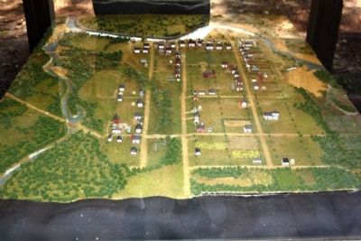
Colonial Dorchester
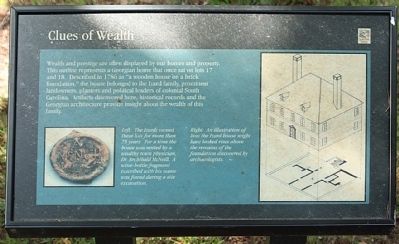
Clues of Wealth
(Left picture) The Izards owned these lots for more than 75 years. For a time the house was rented by a wealthy town physician, Dr. Archibald McNeill. A wine-bottle fragment inscribed with his name was found during a site excavation.
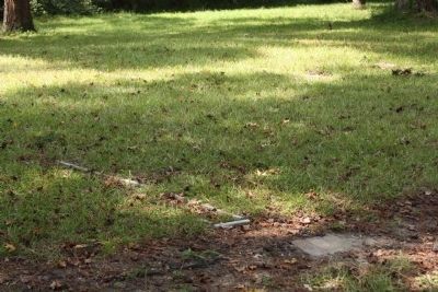
(Right picture) An illustration of how the Izard house might have looked rises above the remains of the foundation discovered by archaeologists.
Erected by South Carolina State Parks.
Topics. This historical marker is listed in this topic list: Settlements & Settlers. A significant historical year for this entry is 1786.
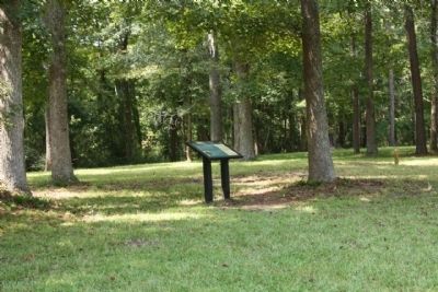
Location. 32° 56.87′ N, 80° 10.236′ W. Marker is in Summerville, South Carolina, in Dorchester County. Marker is on State Park Road. Located at Northwest end of the parking lot .6 miles south of Dorchester Road ( State Road 642 )at Colonial Dorchester State Historic Site. Touch for map. Marker is in this post office area: Summerville SC 29485, United States of America. Touch for directions.
Other nearby markers. At least 8 other markers are within walking distance of this marker. Fort Dorchester (within shouting distance of this marker); a different marker also named Colonial Dorchester (within shouting distance of this marker); Dorchester Free School (about 300 feet away, measured in a direct line); a different marker also named Colonial Dorchester (about 400 feet away); The Bell Tower of St. George's (about 400 feet away); Linking Places and People (about 400 feet away); a different marker also named Colonial Dorchester (about 500 feet away); Parish Church of St. George, Dorchester (about 500 feet away). Touch for a list and map of all markers in Summerville.
Also see . . . The South Carolina historical and genealogical magazine,. Volume 20 By South Carolina Historical Society page 187-188 The Upper Ashley, Izard family (Submitted on September 19, 2009, by Mike Stroud of Bluffton, South Carolina.)
Credits. This page was last revised on November 15, 2020. It was originally submitted on September 19, 2009, by Mike Stroud of Bluffton, South Carolina. This page has been viewed 941 times since then and 37 times this year. Photos: 1, 2, 3, 4. submitted on September 19, 2009, by Mike Stroud of Bluffton, South Carolina. • Craig Swain was the editor who published this page.


