Virginia City in Storey County, Nevada — The American Mountains (Southwest)
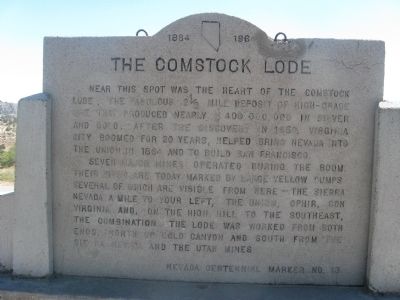
The Comstock Lode
1864 – 1964
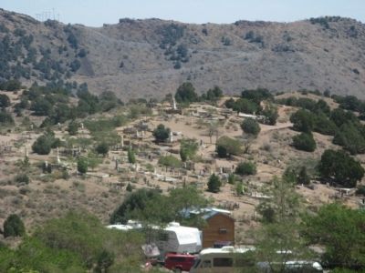
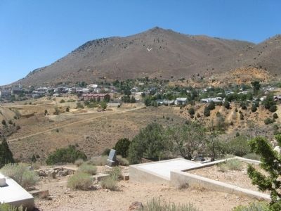
Near this spot was the heart of the Comstock Lode, the fabulous 2 ½ mile deposit of high-grade ore that produced nearly $400,000,000 in silver and gold. After the discovery in 1859, Virginia City boomed for 20 years, helped bring Nevada into the Union in 1864 and to build San Francisco.
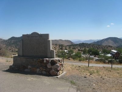
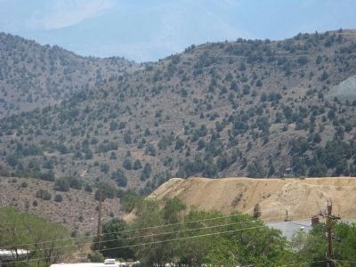
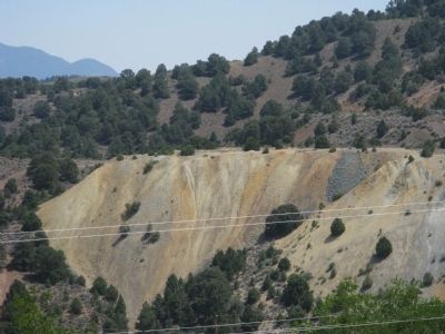
Seven major mines operated during the boom. Their sites are today marked by large yellow dumps, several which are visible from here – The Sierra Nevada, a mile to your left, the Union, Ophir, Con Virginia, and, on the high hill to the southeast, the Combination. The lode was worked from both ends, north up Cold Canyon and south from the Sierra Nevada and the Utah Mines.
Erected by Nevada Centennial Commission. (Marker Number 13.)
Topics. This historical marker is listed in these topic lists: Landmarks • Natural Resources • Notable Places • Settlements & Settlers. A significant historical year for this entry is 1859.
Location. 39° 19.067′ N, 119° 38.816′ W. Marker is in Virginia City, Nevada, in Storey County. Marker is on C Street (Nevada Route 341), on the right when traveling north. Touch for map. Marker is in this post office area: Virginia City NV 89440, United States of America. Touch for directions.
Other nearby markers. At least 8 other markers are within walking distance of this marker. Veterans Day November 11th 1995 (about 500 feet away, measured in a direct line); Silver Terrace Cemeteries (about 500 feet away); Life in Virginia City on the Comstock Lode (about 600 feet away); Mary Jane Simpson (approx. 0.2 miles away); The Jewish Cemetery - Virginia City 1862 (approx. 0.2 miles away); John Pearson (approx. ¼ mile away); Captain Edward Faris Storey (approx. 0.3 miles away); V & T, 1869 - 1950 (approx. 0.4 miles away). Touch for a list and map of all markers in Virginia City.
Also see . . . The History of the Comstock and Virginia City. Booked entry (Submitted on September 22, 2009, by Syd Whittle of Mesa, Arizona.)
Credits. This page was last revised on November 9, 2022. It was originally submitted on September 22, 2009, by Syd Whittle of Mesa, Arizona. This page has been viewed 1,628 times since then and 40 times this year. Photos: 1, 2, 3, 4, 5, 6. submitted on September 22, 2009, by Syd Whittle of Mesa, Arizona.
