Sandy Hook in Middletown Township in Monmouth County, New Jersey — The American Northeast (Mid-Atlantic)
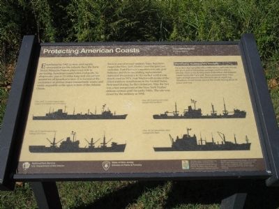
Protecting American Coasts
Coastal Defense
— Maritime History —
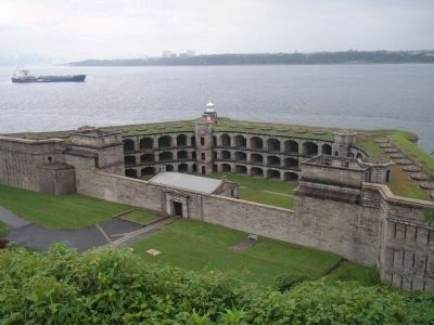
Earle is one of several military bases that have ringed the New York Harbor over the past two centuries. Fort Hancock’s massive concrete gun batteries and their succeeding replacements defended the entrance to the harbor until it was deactivated in 1974. Fort Wadsworth is one of the oldest military installations in the United States. First used during the Revolutionary War, the fort was a key component of the New York Harbor defense system until the early 1960s. The site was closed by the military in 1994.
Identifying Homeported Vessels
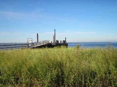
On a clear day using the silhouettes below, and with the aid of a good pair of binoculars, perhaps you’ll be able to identify some of the homeported ammunition and support vessels using the Earle pier. Navy personnel from these types of ships provide the laborious job of supplying American armed forces around the world during times of peace and war.
Erected by National Park Service, U.S. Department of the Interior; State of New Jersey Division of Parks & Forestry.
Topics. This historical marker is listed in these topic lists: Military • Waterways & Vessels. A significant historical year for this entry is 1943.
Location. 40° 27.892′ N, 74° 0.409′ W. Marker is in Middletown Township, New Jersey, in Monmouth County. It is in Sandy Hook. Marker is on Gateway NRA Road, on the left when traveling north. Marker is in the Fort Hancock Historic District in the Sandy Hook Unit of Gateway National Recreation Area. Touch for map. Marker is in this post office area: Highlands NJ 07732, United States of America. Touch for directions.
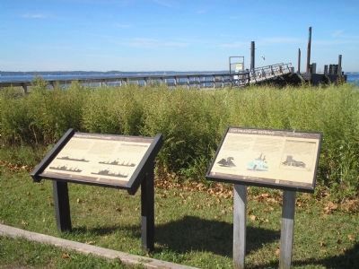
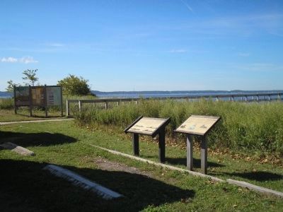
Other nearby markers. At least 8 other markers are within walking distance of this marker. 200 Years of Service (here, next to this marker); Army Docks (a few steps from this marker); Ferry Landing and Chapel (about 300 feet away, measured in a direct line); Officers Row (about 300 feet away); Post Chapel (about 300 feet away); Rodman Gun (about 400 feet away); Mule Barn (about 400 feet away); Fire House Number 1 (about 400 feet away). Touch for a list and map of all markers in Middletown Township.
More about this marker. Silhouettes of some of the homeported ships appear on the bottom of the marker. These include Class AOE 1 (combat support ship): example USS Seattle and USS Detroit; Class AE 23 (ammunition ship): example USS Nitro; Class AE 21 (ammunition
ship): example USS Suribachi; and Class AE 26 (ammunition ship): example USS Butte.
Also see . . .
1. New Jersey Coastal Heritage Trail Route. National Park Service website. (Submitted on September 23, 2009, by Bill Coughlin of Woodland Park, New Jersey.)
2. Naval Weapons Station Earle, Monmouth County, New Jersey. (Submitted on September 23, 2009, by Bill Coughlin of Woodland Park, New Jersey.)
Credits. This page was last revised on February 7, 2023. It was originally submitted on September 23, 2009, by Bill Coughlin of Woodland Park, New Jersey. This page has been viewed 771 times since then and 9 times this year. Photos: 1, 2, 3, 4, 5. submitted on September 23, 2009, by Bill Coughlin of Woodland Park, New Jersey.
