Near Poynette in Columbia County, Wisconsin — The American Midwest (Great Lakes)
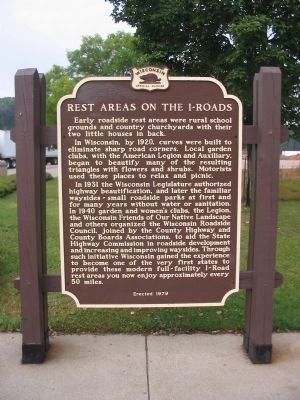
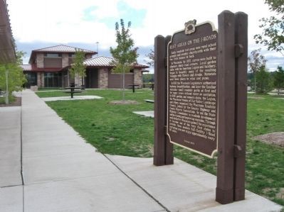
Rest Areas on the I-Roads
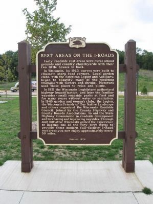
In Wisconsin, by 1920, curves were built to eliminate sharp road corners. Local garden clubs, with the American Legion and Auxiliary, began to beautify many of the resulting triangles with flowers and shrubs. Motorists used these places to relax and picnic.
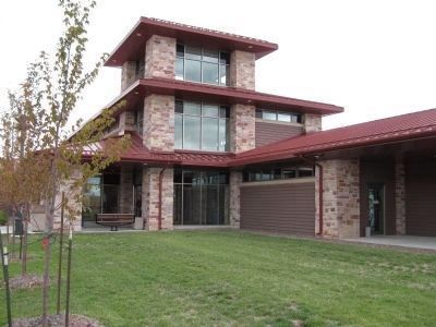
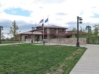
In 1931 the Wisconsin Legislature authorized highway beautification, and later the familiar waysides - small roadside parks at first and for many years without water or sanitation. In 1940 garden and women's clubs, the Legion, the Wisconsin Friends of Our Native Landscape and others organized the Wisconsin Roadside Council, joined by the County Highway and County Boards Associations, to aid the State Highway Commission in roadside development and increasing and improving waysides. Through such initiative Wisconsin gained the experience to become one of the very first states to provide these modern full-facility I-Road rest areas you now enjoy approximately every 50 miles.
Erected 1979 by the Wisconsin Historical Society. (Marker Number 259.)
Topics and series. This historical marker is listed in this topic list: Roads & Vehicles. In addition, it is included in the Wisconsin Historical Society series list. A significant historical year for this entry is 1920.
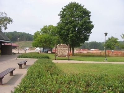
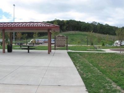
Location. 43° 25.75′ N, 89° 28.946′ W. Marker is near Poynette, Wisconsin, in Columbia County. Marker can be reached from Interstate 39 at milepost 113,, 4.2 miles south of Wisconsin Highway 78, on the right when traveling south. The marker is located at Rest Area 11, on southbound I-39 and eastbound I-90/94, approximately 8 miles south of Portage, Wisconsin. Touch for map. Marker is in this post office area: Poynette WI 53955, United States of America. Touch for directions.
Other nearby markers. At least 8 other markers are within 8 miles of this marker, measured as the crow flies. The Circus (approx. 0.4 miles away); Veterans of the American Revolution Memorial Bridge (approx. 0.4 miles away); Wisconsin Veterans Memorial Highway (approx. 0.4 miles away); The Old Village of Dekorra (approx. 2.3 miles away); Wallis Rowan and His Cabin (approx. 4.9 miles away); John Muir View (approx. 5˝ miles away); St. Mary's of the Pines (approx. 5.6 miles away); Pierre Pauquette Ferry (approx. 7˝ miles away). Touch for a list and map of all markers in Poynette.
More about this marker. The rest area is located on the longest stretch of three concurrent Interstate Highways in the United States, and is the only rest area in the United States (along with nearby
Rest Area 12) located on three concurrent Interstate Highways. It is also the busiest rest area in Wisconsin (along with Rest Area 12).
Also see . . . Rest Areas and Waysides. (Submitted on September 24, 2009.)
Credits. This page was last revised on June 16, 2016. It was originally submitted on September 24, 2009, by Keith L of Wisconsin Rapids, Wisconsin. This page has been viewed 1,914 times since then and 48 times this year. Photos: 1. submitted on September 24, 2009, by Keith L of Wisconsin Rapids, Wisconsin. 2. submitted on October 11, 2012, by Keith L of Wisconsin Rapids, Wisconsin. 3. submitted on September 24, 2009, by Keith L of Wisconsin Rapids, Wisconsin. 4, 5. submitted on October 11, 2012, by Keith L of Wisconsin Rapids, Wisconsin. 6. submitted on January 11, 2011, by Keith L of Wisconsin Rapids, Wisconsin. 7. submitted on October 11, 2012, by Keith L of Wisconsin Rapids, Wisconsin. 8. submitted on January 11, 2011, by Keith L of Wisconsin Rapids, Wisconsin. • Craig Swain was the editor who published this page.
