Lutherville-Timonium in Baltimore County, Maryland — The American Northeast (Mid-Atlantic)
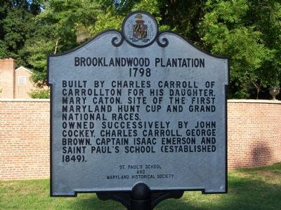
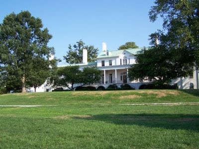
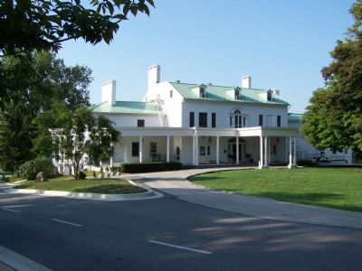
Brooklandwood Plantation
1798
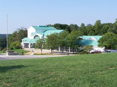
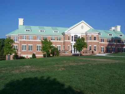
Owned successively by John Cockey, Charles Carroll, George Brown, Captain Isaac Emerson and Saint Paul's School (established 1849).
Erected 1965 by Saint Paul's School and Maryland Historical Society.
Topics. This historical marker is listed in these topic lists: Animals • Education • Settlements & Settlers • Sports. A significant historical year for this entry is 1798.
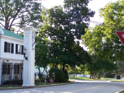
Location. 39° 25.967′ N, 76° 40.591′ W. Marker is in Lutherville-Timonium, Maryland, in Baltimore County. Marker is on Falls Road (Maryland Route 25) near Entrance to St. Paul’s School, on the left when traveling north. Touch for map. Marker is at or near this postal address: 11152 Falls Road, Lutherville Timonium MD 21093, United States of America. Touch for directions.
Other nearby markers. At least 8 other markers are within 3 miles of this marker, measured as the crow flies. Saters Church (approx. 0.4 miles away); a different marker also named Sater’s Church (approx. 0.6 miles away); Hunt’s Church (approx. 2 miles away); Rockland (approx. 2.3 miles away); Baltimore and Susquehanna Railroad Marble Track Bed (approx. 2.4 miles away); Jones Falls Watershed (approx. 2.4 miles away); Baltimore & Susquehanna Railroad Marble Track Bed (approx. 2˝ miles away); Lutherville Historic District (approx. 2.6 miles away). Touch for a list and map of all markers in Lutherville-Timonium.
Credits. This page was last revised on November 22, 2019. It was originally submitted on September 3, 2007, by Bill Pfingsten of Bel Air, Maryland. This page has been viewed 4,555 times since then and 103 times this year. Photos: 1, 2, 3, 4, 5, 6. submitted on September 3, 2007, by Bill Pfingsten of Bel Air, Maryland. • J. J. Prats was the editor who published this page.
