Farmington in San Juan County, New Mexico — The American Mountains (Southwest)
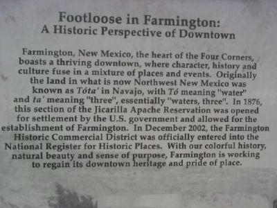
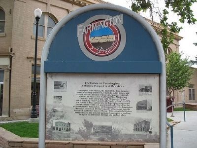
Footloose in Farmington:
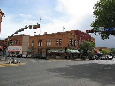
A Historic Perspective of Downtown
Topics. This historical marker is listed in this topic list: Settlements & Settlers. A significant historical month for this entry is December 2002.
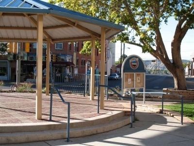
Location. 36° 43.754′ N, 108° 12.33′ W. Marker is in Farmington, New Mexico, in San Juan County. Marker is at the intersection of Main Street and Orchard Avenue, on the right when traveling west on Main Street. Marker is near the pavilion and fountain in Hunter Plaza on the corner of Orchard and Main. Touch for map. Marker is at or near this postal address: 108 West Main Street, Farmington NM 87401, United States of America. Touch for directions.
Other nearby markers. At least 8 other markers are within 13 miles of this marker, measured as the crow flies. The Hunters (here, next to this marker); Farmington, New Mexico (approx. 0.4 miles away); Harriet Belle Amsden Sammons (1876-1954) (approx. 2.1 miles away); a different marker also named Farmington (approx. 4.3 miles away); Settlement of Kirtland (approx. 8.4 miles away); Salmon Ruin (approx. 10 miles away); City of Bloomfield (approx. 10.8 miles away); Aztec Ruins National Monument (approx. 12.7 miles away). Touch for a list and map of all markers in Farmington.
More about this marker. Most experts disagree that the Navajo word "Tota'" means "waters, three" (three rivers). It actually means "waters [flowing] together", or place where the rivers meet. In Farmington the Animas and LaPlata rivers flow into the San Juan.
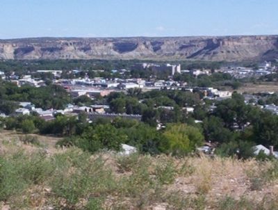
Regarding Footloose in Farmington:. Approximately 8 blocks of Farmington's downtown area was placed on the National Register of Historic Places on December 20, 2002. It features late 19th and early 20th-century buildings. Farmington has long been the commercial hub of the Four Corners region and has a population nearly 4 times that of Durango, Colorado (50 miles to the north). On weekends many people come to Farmington to do their shopping from the Navajo, Southern Ute, and Apache Reservations and from small towns in a 60-mile radius.
September 26, 2009
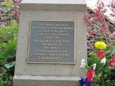
3. Plaque for Hunter Plaza, Location of "Footloose in Farmington" Marker
Farmington in 1891 and donated
The land for this plaza
To the City of Farmington
In May 1902.
This pavilion is dedicated to
the memory of
the Hunters
for their generosity and
community spirit in helping
Farminton grow.
Credits. This page was last revised on June 16, 2016. It was originally submitted on September 30, 2009. This page has been viewed 1,344 times since then and 20 times this year. Photos: 1, 2, 3, 4, 5, 6. submitted on September 30, 2009. 7, 8. submitted on December 7, 2011, by Mark Lashley of Austin, Texas. • Syd Whittle was the editor who published this page.
