Lutherville-Timonium in Baltimore County, Maryland — The American Northeast (Mid-Atlantic)
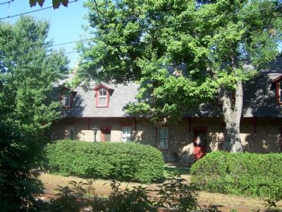
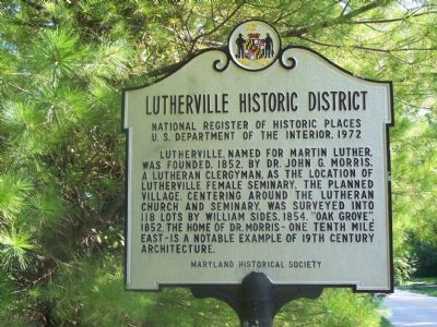
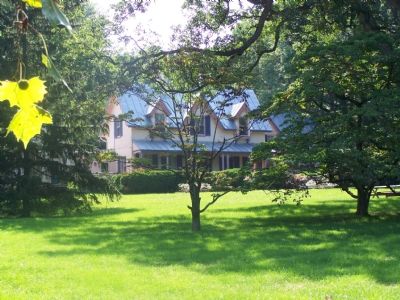
Lutherville Historic District
National Register of Historic Places
— U.S. Department of the Interior, 1972 —
Erected by Maryland Historical Society.
Topics. This historical marker is listed in these topic lists: Churches & Religion • Education • Settlements & Settlers. A significant historical year for this entry is 1972.
Location. 39° 25.439′ N, 76° 37.746′ W. Marker is in Lutherville-Timonium, Maryland, in Baltimore County. Marker is at the intersection of Front Street and Morris Street, on the right when traveling south on Front Street. Touch for map. Marker is at or near this postal address: 325 Morris Avenue, Lutherville Timonium MD 21093, United States of America. Touch for directions.
Other nearby markers. At least 8 other markers are within 2 miles of this marker, measured as the crow flies. Hunt’s Church (approx. 1.7 miles away); Jones Falls Watershed (approx. 1.7 miles away); Baltimore & Susquehanna Railroad Marble Track Bed (approx. 1.7 miles away); Baltimore and Susquehanna Railroad Marble Track Bed (approx. 1.8 miles away); Guth Memorial Gateway (approx. 1.9 miles away); Goucher College Springhouse (approx. 2 miles away); Vietnam Veterans Memorial (approx. 2 miles away); Goucher College (approx. 2 miles away). Touch for a list and map of all markers in Lutherville-Timonium.

Photographed By William Pfingsten, September 3, 2007
2. Lutherville Train Station
In the late 1960s Pennsylvania Railroad passenger train service at Lutherville ended. In 1854 it was the Northern Central Railway that provided service to Lutherville. Today Lutherville is again served by rail, Baltimore's MTA Light Rail line.
Credits. This page was last revised on August 6, 2021. It was originally submitted on September 3, 2007, by Bill Pfingsten of Bel Air, Maryland. This page has been viewed 4,052 times since then and 91 times this year. Photos: 1, 2, 3, 4. submitted on September 3, 2007, by Bill Pfingsten of Bel Air, Maryland. • J. J. Prats was the editor who published this page.


