Cockeysville in Baltimore County, Maryland — The American Northeast (Mid-Atlantic)
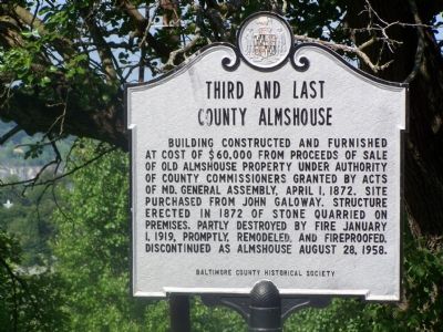
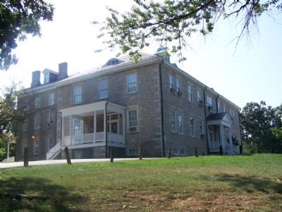
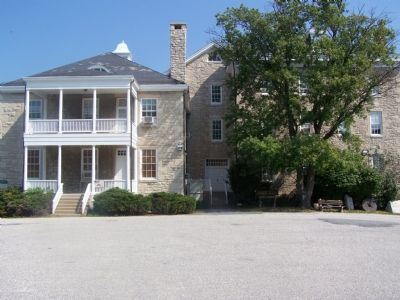
Third and Last County Almshouse
Erected 1966 by Baltimore County Historical Society.
Topics. This historical marker is listed in this topic list: Charity & Public Work. A significant historical month for this entry is January 1735.
Location. 39° 27.611′ N, 76° 37.679′ W. Marker is in Cockeysville, Maryland, in Baltimore County. Marker is on Van Buren Avenue, 0.1 miles north of Jefferson Avenue, on the right when traveling north. Touch for map. Marker is in this post office area: Cockeysville MD 21030, United States of America. Touch for directions.
Other nearby markers. At least 8 other markers are within walking distance of this marker. White Marble Block (within shouting distance of this marker); Property Boundary Marker (within shouting distance of this marker); Millstone (within shouting distance of this marker); Cornerstone from Wesley Chapel (within shouting distance of this marker); World War II and Korean War Memorial (approx. 0.4 miles away); Memorial to Marylanders-Liberation of Kuwait (approx. 0.4 miles away); Memorial to All Marylanders who lost lives to Terrorists (approx. 0.4 miles away); The Field of Honor (approx. 0.4 miles away). Touch for a list and map of all markers in Cockeysville.
Credits. This page was last revised on June 16, 2016. It was originally submitted on September 3, 2007, by Bill Pfingsten of Bel Air, Maryland. This page has been viewed 3,063 times since then and 17 times this year. Photos: 1, 2, 3. submitted on September 3, 2007, by Bill Pfingsten of Bel Air, Maryland. • J. J. Prats was the editor who published this page.


