Charleston in Kanawha County, West Virginia — The American South (Appalachia)
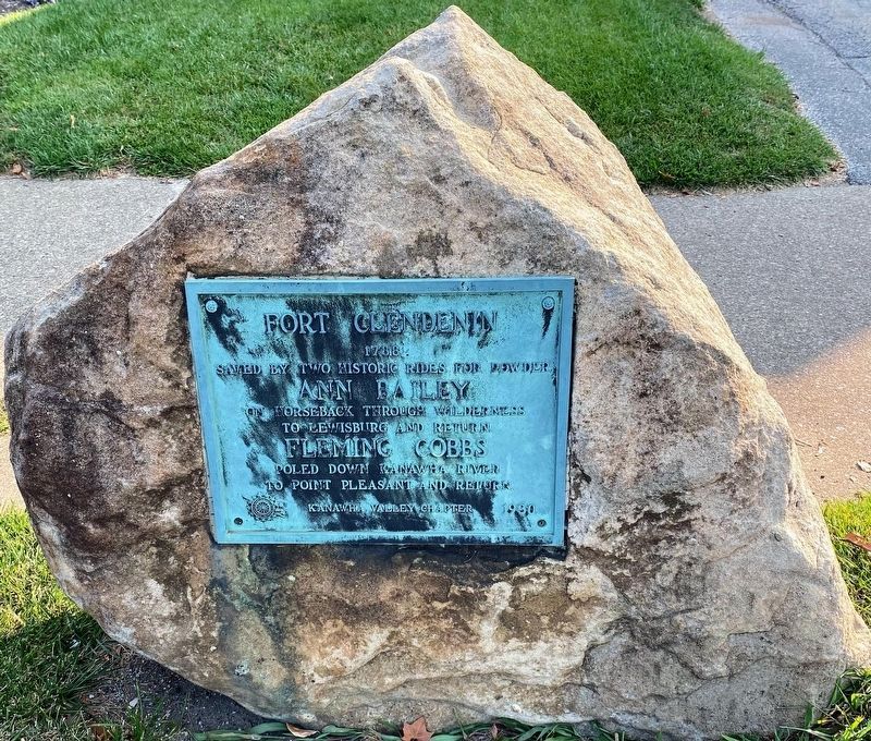
Fort Clendenin
1788
Saved by two historic rides for powder. Ann Bailey on horseback through wilderness to Lewisburg and return. Fleming Cobbs poled down Kanawha River to Point Pleasant and return.
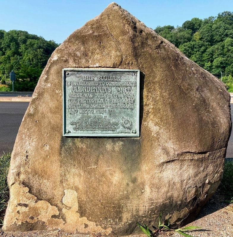
This boulder is established to commemorate Clendennin's Fort which was built in 1788 for the protection of the early settlers against the Indians and stood here.
Erected 1915 by Kanawha Valley Chapter Daughters of the American Revolution.
Topics and series. This historical marker is listed in these topic lists: Forts and Castles • Native Americans • War, French and Indian • War, US Revolutionary. In addition, it is included in the Daughters of the American Revolution series list. A significant historical year for this entry is 1788.
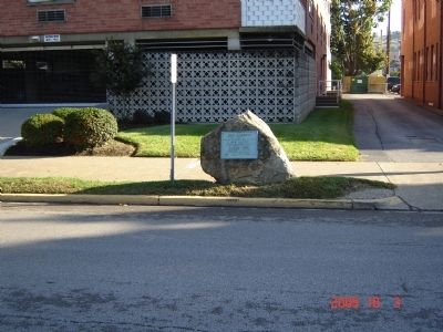
Location. 38° 20.664′ N, 81° 37.95′ W. Marker is in Charleston, West Virginia, in Kanawha County. Marker is at the intersection of Kanawha Boulevard and Brooks Street, on the left when traveling south on Kanawha Boulevard. Touch for map. Marker is in this post office area: Charleston WV 25301, United States of America. Touch for directions.
Other nearby markers. At least 8 other markers are within walking distance of this marker. Fort Lee (within shouting distance of this marker); First Gas Well (within shouting distance of this marker); Site of Fort Lee (about 300 feet away, measured in a direct line); William Blizzard (about 700 feet away); First Presbyterian Church (approx. 0.2 miles away); Christ Church (approx. 0.2 miles away); Charleston Baptist Temple (approx. 0.2 miles away); Saint John's Episcopal Church (approx. 0.2 miles away). Touch for a list and map of all markers in Charleston.
Related marker. Click here for another marker that is related to this marker. Ann Bailey, Point Pleasant, WV
Credits. This page was last revised on August 12, 2021. It was originally submitted on October 5, 2009, by Michael Sean Nix of Spartanburg, South Carolina. This page has been viewed 3,183 times since then and 246 times this year. Photos: 1, 2. submitted on August 12, 2021, by Shane Oliver of Richmond, Virginia. 3, 4. submitted on October 5, 2009, by Michael Sean Nix of Spartanburg, South Carolina. • Bill Pfingsten was the editor who published this page.


