Hudson Square in Manhattan in New York County, New York — The American Northeast (Mid-Atlantic)
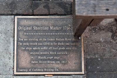
Original Shoreline Marker 1766
Watch your step!
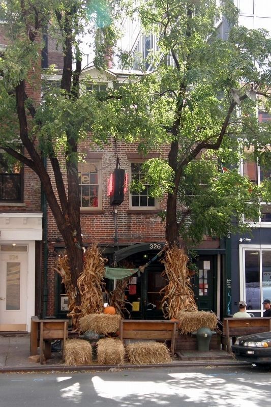
James Brown House est. 1817
Erected by Carlsberg Brewing Company.
Topics. This historical marker is listed in these topic lists: Man-Made Features • Notable Places. A significant historical year for this entry is 1817.
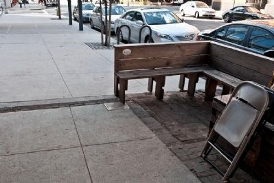
Location. 40° 43.567′ N, 74° 0.567′ W. Marker is in Manhattan, New York, in New York County. It is in Hudson Square. Marker is on 326 Spring Street. Touch for map. Marker is in this post office area: New York NY 10013, United States of America. Touch for directions.
Other nearby markers. At least 8 other markers are within walking distance of this marker. James Brown House (here, next to this marker); Canal Park (about 400 feet away, measured in a direct line); 508 Canal Street (about 500 feet away); 9/11 Memorials (approx. 0.2 miles away); The Holland Tunnel (approx. 0.2 miles away); a different marker also named The Holland Tunnel (approx. 0.2 miles away); a different marker also named Holland Tunnel (approx. 0.2 miles away); House of Leonard Lispenard (approx. 0.2 miles away). Touch for a list and map of all markers in Manhattan.
Also see . . . The 1817 James Brown House. "Daytonian in Manhattan" entry. (Submitted on April 11, 2020, by Larry Gertner of New York, New York.)
Credits. This page was last revised on January 31, 2023. It was originally submitted on October 6, 2009, by Ronald Claiborne of College Station, Texas. This page has been viewed 876 times since then and 33 times this year. Photos: 1, 2. submitted on October 6, 2009, by Ronald Claiborne of College Station, Texas. 3. submitted on September 4, 2019, by Larry Gertner of New York, New York. • Bill Pfingsten was the editor who published this page.


