Near Fruitland in Payette County, Idaho — The American West (Mountains)
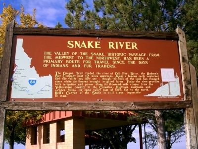
Snake River
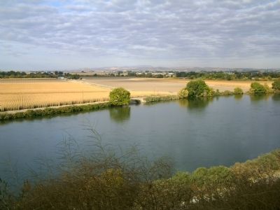
The Oregon Trail forded the river at Old Fort Boise, the Hudson's Bay Company 12 miles upstream. Many a famous early westerner saw the valley you now see - though the look of the land has changed since white settlement brought irrigated farms. Today the river provides both irrigation and power along its thousand-mile course from the Yellowstone to the Columbia. Highways, railroads, and airlines follow its open valley east of here; but to the north, Hell's Canyon of the Snake is still almost impassable to man.
Erected by Idaho Historical Society. (Marker Number 263.)
Topics and series. This historical marker is listed in these topic lists: Natural Features • Settlements & Settlers • Waterways & Vessels. In addition, it is included in the Idaho State Historical Society, and the Oregon Trail series lists.
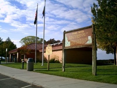
Location. 43° 59.629′ N, 116° 56.162′ W. Marker is near Fruitland, Idaho, in Payette County. Marker is on Interstate 84 at milepost 1,, 1.9 miles north of U.S. 95, on the right when traveling east. Marker is located at the Eastbound Rest Area. Touch for map. Marker is in this post office area: Fruitland ID 83619, United States of America. Touch for directions.
Other nearby markers. At least 8 other markers are within 9 miles of this marker, measured as the crow flies. Salmon Festival (about 300 feet away, measured in a direct line); Ontario Oregon Trail Kiosk (approx. 1.6 miles away in Oregon); Francois Payette (approx. 5.1 miles away); Payette World War I Memorial (approx. 5.8 miles away); New Plymouth (approx. 5.9 miles away); a different marker also named New Plymouth (approx. 6 miles away); a different marker also named New Plymouth (approx. 6 miles away); Malheur County's Oregon Trail Heritage (approx. 8.2 miles away in Oregon).
Credits. This page was last revised on June 16, 2016. It was originally submitted on October 11, 2009, by Rebecca Maxwell of Boise, Idaho. This page has been viewed 1,613 times since then and 54 times this year. Photos: 1, 2, 3. submitted on October 11, 2009, by Rebecca Maxwell of Boise, Idaho. • Craig Swain was the editor who published this page.


