Near Trempealeau in Trempealeau County, Wisconsin — The American Midwest (Great Lakes)
Perrot's Post
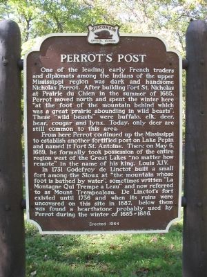
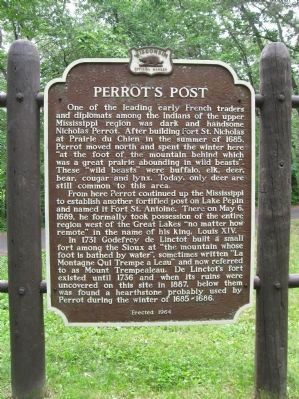
From here Perrot continued up the Mississippi to establish another fortified post on Lake Pepin and named it Fort St. Antoine. There on May 6, 1689, he formally took possession of the entire region west of the Great Lakes "no matter how remote" in the name of his king, Louis XIV.
In 1731 Godefroy de Linctot built a small fort among the Sioux at "the mountain whose foot is bathed by water", sometimes written "La Montagne Qui Trempe a Leau" and now referred to as Mount Trempealeau. De Linctot's fort existed until 1736 and when its ruins were uncovered on this site in 1887, below them was found a hearthstone probably used by Perrot during the winter of 1685-1686.
Erected 1964 by Wisconsin Historical Society. (Marker Number 133.)
Topics and series. This historical marker is listed in this topic list: Exploration. In addition, it is included in the Wisconsin Historical Society series list. A significant historical month for this entry is May 1910.
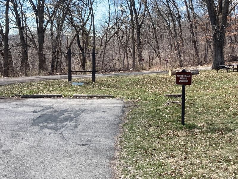
Location. Marker has been reported missing. It was located near 44° 0.866′ N, 91° 28.39′ W. Marker was near Trempealeau, Wisconsin, in Trempealeau County. Marker could be reached from Sullivan Road / South Park Road, 1.3 miles west of Spring Street, on the left when traveling west. Marker is in Perrot State Park (fee area). Touch for map. Marker was at or near this postal address: W26247 Sullivan Road, Trempealeau WI 54661, United States of America. Touch for directions.
Other nearby markers. At least 8 other markers are within 4 miles of this location, measured as the crow flies. French Post (here, next to this marker); Brady's Bluff (approx. 0.2 miles away); The Geology of Perrot State Park (approx. 0.9 miles away); James Allen Reed / Trempealeau (approx. 1.7 miles away); The Mississippi River Parkway: (approx. 2˝ miles away); Pickwick Mill (approx. 2.6 miles away in Minnesota); Historic Lake Labelle (approx. 2.6 miles away in Minnesota); Great River Bluffs (approx. 3.6 miles away in Minnesota). Touch for a list and map of all markers in Trempealeau.
Credits. This page was last revised on April 10, 2024. It was originally submitted on October 12, 2009, by Keith L of Wisconsin Rapids, Wisconsin. This page has been viewed 1,562 times since then and 50 times this year. Photos: 1. submitted on October 12, 2009, by Keith L of Wisconsin Rapids, Wisconsin. 2. submitted on June 5, 2012, by Keith L of Wisconsin Rapids, Wisconsin. 3. submitted on October 12, 2009, by Keith L of Wisconsin Rapids, Wisconsin. 4. submitted on June 5, 2012, by Keith L of Wisconsin Rapids, Wisconsin. 5. submitted on April 8, 2024, by Eric Kuntz of Beaver Dam, Wisconsin. • Craig Swain was the editor who published this page.
