Vincennes in Knox County, Indiana — The American Midwest (Great Lakes)
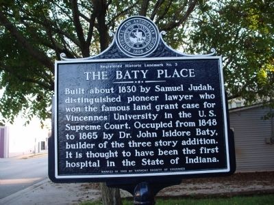
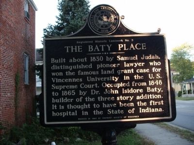
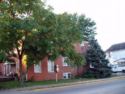
The Baty Place
Occupied from 1848 to 1865 by Dr. John Isidore Baty, builder of the three story addition. It is thought to have been the first hospital in the State of Indiana.
Erected 1969 by Harmony Society of Vincennes, Historical and Antiquarian Society Vincennes.
Topics. This historical marker is listed in these topic lists: Education • Government & Politics • Science & Medicine. A significant historical year for this entry is 1830.
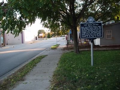
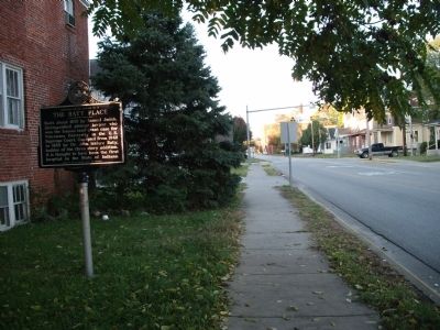
Location. 38° 40.991′ N, 87° 31.56′ W. Marker is in Vincennes, Indiana, in Knox County. Marker is on North 2nd Street north of Hart Street, on the right when traveling north. Touch for map. Marker is in this post office area: Vincennes IN 47591, United States of America. Touch for directions.
Other nearby markers. At least 8 other markers are within walking distance of this marker. Old French House (about 500 feet away, measured in a direct line); Tecumseh and Harrison (about 700 feet away); Chief Tecumseh (about 700 feet away); Indiana Territory (approx. 0.2 miles away); Millstones from Emison Mills (approx. 0.2 miles away); "Grouseland" (approx. 0.2 miles away); Sarah Knox Taylor (approx. 0.2 miles away); William Henry Harrison & Lewis & Clark Expedition (approx. 0.2 miles away). Touch for a list and map of all markers in Vincennes.
Credits. This page was last revised on November 18, 2019. It was originally submitted on October 15, 2009, by Al Wolf of Veedersburg, Indiana. This page has been viewed 1,370 times since then and 35 times this year. Photos: 1, 2, 3, 4, 5. submitted on October 15, 2009, by Al Wolf of Veedersburg, Indiana. • Bill Pfingsten was the editor who published this page.
