Near Dalton in Whitfield County, Georgia — The American South (South Atlantic)
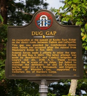
Dug Gap
This gap was guarded by Confederate forces when Dalton was occupied after the retreat from Missionary Ridge in Nov. 1863.
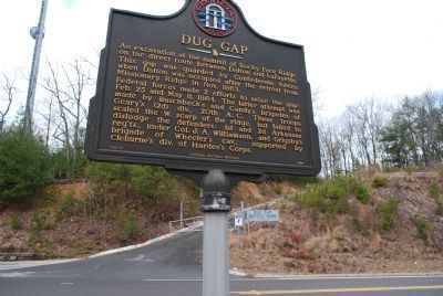
Federal forces made two efforts to seize the gap: Feb. 25 and May 8, 1864. The latter attempt was made by Buschbeck’s and Candy’s brigades of Geary’s (2d) div., 20th A.C. These troops scaled the W. scarp of the ridge, but failed to dislodge the defenders: 1st and 2d Arkansas reg’ts., under Col. J. A. Williamson, and Grigsby’s brigade of Wheeler’s cav., supported by Cleburne’s div. of Hardee’s Corps.
Erected 1986 by Georgia Department of Natural Resources. (Marker Number 155-11.)
Topics and series. This historical marker is listed in this topic list: War, US Civil. In addition, it is included in the Georgia Historical Society series list. A significant historical month for this entry is May 1864.
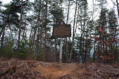
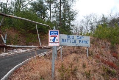
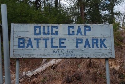
Location. 34° 44.555′ N, 85° 0.905′ W. Marker is near Dalton, Georgia, in Whitfield County. Marker is on Dug Gap Battle Road, 0.6 miles west of Battlefield Park Drive, on the left when traveling west. The marker is opposite the entrance to the Dug Gap Battle Park, at the summit of the ridge. Touch for map. Marker is in this post office area: Dalton GA 30720, United States of America. Touch for directions.
Other nearby markers. At least 8 other markers are within 3 miles of this marker, measured as the crow flies. Battle of Dug Gap (a few steps from this marker); Ascent to Dug Gap (approx. one mile away); a different marker also named Dug Gap (approx. 1.3 miles away); Babb's Settlement (approx. 1½ miles away); a different marker also named Battle of Dug Gap (approx. 1½ miles away); Johnny Marcus Memorial Loop (approx. 1.8 miles away); Milltown Education (approx. 2.6 miles away); Dalton Confederate Memorial (approx. 2.7 miles away). Touch for a list and map of all markers in Dalton.
More about this marker. This marker replaced an earlier marker of the same title and similar text on this location erected by the Georgia Historical Commission.
Credits. This page was last revised on November 23, 2019. It was originally submitted on October 15, 2009, by David Seibert of Sandy Springs, Georgia. This page has been viewed 1,660 times since then and 35 times this year. Last updated on October 15, 2009, by David Seibert of Sandy Springs, Georgia. Photos: 1. submitted on October 15, 2009, by David Seibert of Sandy Springs, Georgia. 2, 3, 4, 5, 6. submitted on July 21, 2015, by Brandon Fletcher of Chattanooga, Tennessee. • Craig Swain was the editor who published this page.
