Summerville in Dorchester County, South Carolina — The American South (South Atlantic)
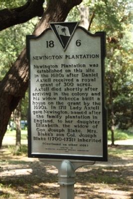
Newington Plantation
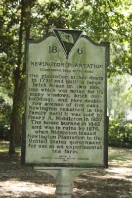
(Reverse text)
the plantation at her death in 1726 and built a large brick house on this site, one which was noted for its many windows, brick out- buildings, and rare double- row avenue of live oaks. Newington remained in the family until it was sold to Henry A. Middleton in 1837. The house burned in 1845 and was in ruins by 1876, when Middleton leased Newington Plantation to the United States government for use as an experimental tea farm.
Erected 1997 by Newington Plantation Estates Association. (Marker Number 18-6.)
Topics. This historical marker is listed in these topic lists: Colonial Era • Settlements & Settlers. A significant historical year for this entry is 1711.
Location. 32° 58.993′ N, 80° 12.277′ W. Marker is in Summerville, South Carolina, in Dorchester County. Marker is on Plantation Circle , on the left. Located between Whitehall Road & Plantation Drive. Touch for map. Marker is in this post office area: Summerville SC 29483, United States of America. Touch for directions.
Other nearby markers. At least 8 other markers are within 3 miles of this marker, measured as the crow flies. Old White Meeting House and Cemetery (approx. 1.3 miles away); Stallsville (approx. 1.4 miles away); Pinehurst Tea Farm (approx. 1˝ miles away); Bacon's Bridge / "The Hill" (approx. 1.7 miles away); Pine Forest Inn (approx. 2 miles away); The Old Town Hall (approx. 2.2 miles away); Summerville Memorial Stadium (approx. 2.3 miles away); Coach John McKissick and his wife, Joan (approx. 2.3 miles away). Touch for a list and map of all markers in Summerville.
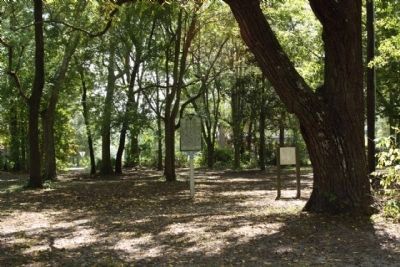
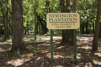
Regarding Newington Plantation. In the 1970s – The plantation lands were developed into a residential subdivision. Marker is located inside the park area of the traffic circle.
Also see . . . Tea production in the United States. The US Government planted an experimental farm outside Summerville, South Carolina. They ran the program from 1884 until 1888. They concluded that South Carolina's climate was too unstable to sustain the tea crop. The Department of Agriculture issued a report in 1897 that "estimates the minimum cost about eight times as much to pick one pound of tea in South Carolina as that paid for the same service in Asia." (Submitted on October 7, 2009, by Mike Stroud of Bluffton, South Carolina.)
Credits. This page was last revised on November 15, 2020. It was originally submitted on October 7, 2009, by Mike Stroud of Bluffton, South Carolina. This page has been viewed 3,381 times since then and 1,176 times this year. Last updated on October 17, 2009, by Michael Sean Nix of Spartanburg, South Carolina. Photos: 1, 2, 3, 4. submitted on October 7, 2009, by Mike Stroud of Bluffton, South Carolina. • Craig Swain was the editor who published this page.


