Woodbridge in Prince William County, Virginia — The American South (Mid-Atlantic)
The First Courthouse of Prince William County
Inscription.
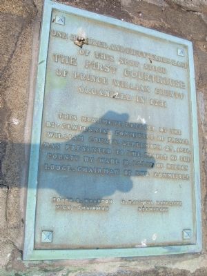
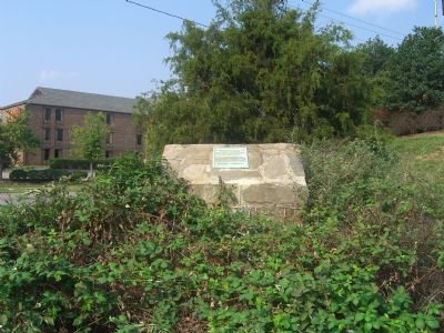
One hundred and fifty yards east of this spot stood the first courthouse of Prince William County organized in 1731. This monument erected by the Bicentennial Committee of Prince William County, September 25, 1931, was presented to the people of the county by Wade R. Ellis of Rippon Lodge, chairman of the committee.
Roger D. Wharton - Vice-Chairman
G. Raymond Ratcliffe - Secretary
Erected 1931 by Bicentennial Committee of Prince William County.
Topics. This historical marker is listed in these topic lists: Colonial Era • Government & Politics. A significant historical date for this entry is September 25, 1933.
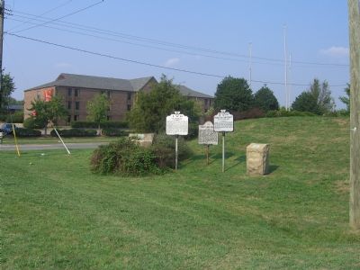
Location. Marker has been permanently removed. It was located near 38° 39.926′ N, 77° 14.635′ W. Marker was in Woodbridge, Virginia, in Prince William County. Marker was at the intersection of Jefferson Davis Highway (U.S. 1) and Annapolis Way, on the right on Jefferson Davis Highway. Touch for map. Marker was in this post office area: Woodbridge VA 22191, United States of America.
We have been informed that this sign or monument is no longer there and will not be replaced. This page is an archival view of what was.
Other nearby markers. At least 8 other markers are within 2 miles of this location, measured as the crow flies. A Near Tragedy (about 700 feet away, measured in a direct line); Colchester (approx. half a mile away); End of the Water (approx. 0.8 miles away); Welcome to Occoquan Bay National Wildlife Refuge (approx. 1.1 miles away); A Corridor and a Barrier (approx. 1.1 miles away); The Trail to Victory at Yorktown (approx. 1.2 miles away); Welcome to Colchester on the Occoquan (approx. 1.2 miles away); Revolutionary Army Life on the Road (approx. 1.2 miles away). Touch for a list and map of all markers in Woodbridge.
Related markers. Click here for a list of markers that are related to this marker. The list includes all five Prince William County Courthouses in sequence from first through the fifth. Note that there are two markers for the second courthouse.
Also see . . .
1. Woodbridge is 200 Years Old!. An article written by Stephen E. Phinney in 1995, when he was serving on the Prince William County Historical Commission. It was published in November, 1997. (Submitted on September 6, 2007, by Kevin W. of Stafford, Virginia.)
2. The History of the Prince William County Waterfront. Excerpt from a 1998 illustrated monograph by Debrarae Karnes: “Prince William’s first courthouse was located along the waterfront, near present day Belmont Bay. It was chartered in 1731, one year after Prince
William County was chartered. At that time, Prince William County contained all of Fairfax, Arlington, Loudoun, and Fauquier Counties. Historians have determined that the courthouse complex included a jail, pillory, and stocks.” (Submitted on September 6, 2007, by Kevin W. of Stafford, Virginia.)
Credits. This page was last revised on November 10, 2023. It was originally submitted on September 6, 2007, by Kevin W. of Stafford, Virginia. This page has been viewed 2,686 times since then and 23 times this year. Photos: 1, 2, 3. submitted on September 6, 2007, by Kevin W. of Stafford, Virginia. • J. J. Prats was the editor who published this page.


