Camden in Kershaw County, South Carolina — The American South (South Atlantic)
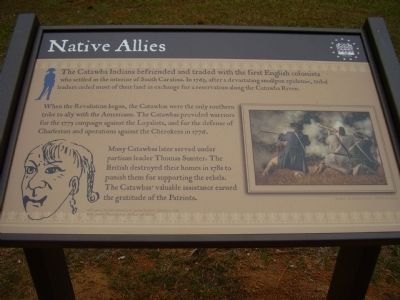
Native Allies
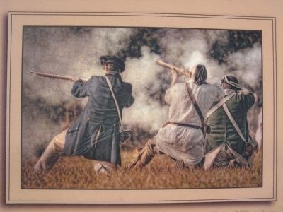
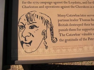
When the Revolution began, the Catawbas were the only southern tribe to ally with the Americans. The Catawbas provided warriors for the 1775 campaign against the Loyalists, and for the defense of Charleston and operations against the Cherokees in 1776.
Many Catawbas later served under partisan leader Thomas Sumter. The British destroyed their homes in 1781 to punish them for supporting the rebels. The Catawbas' valuable assistance earned the gratitude of the Patriots.
Topics. This historical marker is listed in these topic lists: Native Americans • War, US Revolutionary. A significant historical year for this entry is 1763.
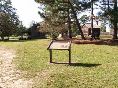
Location. 34° 14.037′ N, 80° 36.276′ W. Marker is in Camden, South Carolina, in Kershaw County. Marker is on State Road (Route 28-703). Marker is located in the Historic Camden Revolutionary War Park. Touch for map. Marker is in this post office area: Camden SC 29020, United States of America. Touch for directions.
Other nearby markers. At least 8 other markers are within walking distance of this marker. Women in the Revolution (within shouting distance of this marker); The Southern Campaign, Aug 1780 - Apr 1781 (within shouting distance of this marker); The Southern Campaign, Dec 1778 - Aug 1780 (within shouting distance of this marker); The Southern Campaign, Apr 1781 - Dec 1782 (within shouting distance of this marker); Camden - Strategic Key (within shouting distance of this marker); The British Evacuation (within shouting distance of this marker); The Fortified Post (within shouting distance of this marker); Palisade Wall (within shouting distance of this marker). Touch for a list and map of all markers in Camden.
Credits. This page was last revised on June 16, 2016. It was originally submitted on October 17, 2009, by Stanley and Terrie Howard of Greer, South Carolina. This page has been viewed 990 times since then and 25 times this year. Photos: 1. submitted on October 17, 2009, by Stanley and Terrie Howard of Greer, South Carolina. 2, 3, 4. submitted on November 3, 2011, by Anna Inbody of Columbia, South Carolina. • Craig Swain was the editor who published this page.


