Solon Springs in Douglas County, Wisconsin — The American Midwest (Great Lakes)
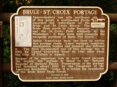
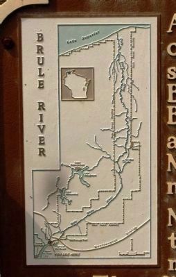
Brule-St. Croix Portage
Native Americans were the first to utilize this portage route. Later, voyagers, explorers, missionairies, traders and pioneers also followed it. The first documented use of this portage was in 1680, by Daniel Greysolon Sieur du Lhut, after whom the City of Duluth is named.
Because of its important role in early travel through the region, the portage is listed on the National Register of Historic Places. Preservation of the portage was initiated about 1930 by the Daughters of the American Revolution. Today, it is within the boundaries of the Brule River State Forest.
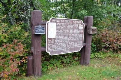
Erected 1997 by Brule River State Forest.
Topics. This historical marker is listed in these topic lists: Exploration • Natural Features • Notable Places • Settlements & Settlers • Waterways & Vessels. A significant historical year for this entry is 1680.
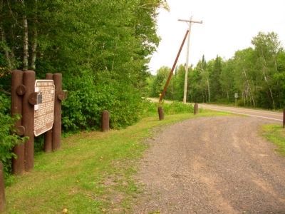
Location. 46° 22.896′ N, 91° 46.596′ W. Marker is in Solon Springs, Wisconsin, in Douglas County. Marker is on U.S. 53, on the right when traveling north. Touch for map. Marker is in this post office area: Solon Springs WI 54873, United States of America. Touch for directions.
Other nearby markers. At least 8 other markers are within 15 miles of this marker, measured as the crow flies. The Brule St. Croix Portage (within shouting distance of this marker); Brule–St. Croix Portage (approx. 4.4 miles away); Antoine Gordon (approx. 9.4 miles away); Evergreen Park Cottage Sanatorium (approx. 9.9 miles away); Major Richard Ira Bong (approx. 14 miles away); Major "Dick" Bong (approx. 14.1 miles away); Daniel Greysolon Sieur Dulhut (approx. 14.7 miles away); Brule River (approx. 14.8 miles away). Touch for a list and map of all markers in Solon Springs.
Credits. This page was last revised on June 16, 2016. It was originally submitted on October 20, 2009, by Kim Van Elzen of Minong, Wisconsin. This page has been viewed 1,274 times since then and 30 times this year. Photos: 1, 2. submitted on August 17, 2012, by Paul Fehrenbach of Germantown, Wisconsin. 3. submitted on October 20, 2009, by Kim Van Elzen of Minong, Wisconsin. 4. submitted on August 17, 2012, by Paul Fehrenbach of Germantown, Wisconsin. • Kevin W. was the editor who published this page.


