Near Gallarus in County Kerry, Munster, Ireland — Irish South-West ((Éire) North Atlantic Ocean)
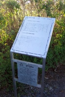
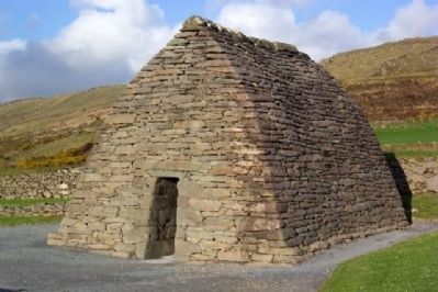
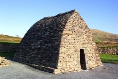
Gallarus Oratory / Séipéilín Ghallarais
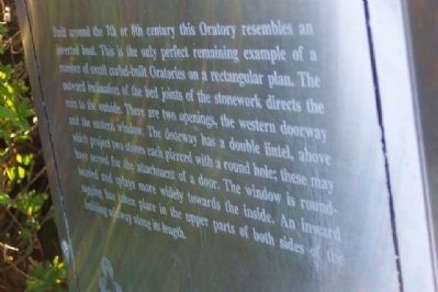
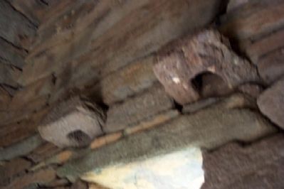
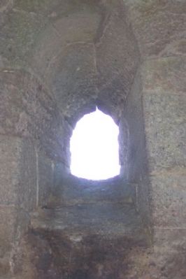
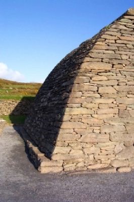
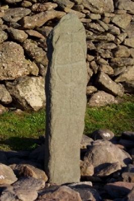
Built around the 7th or 8th century this Oratory resembles an inverted boat. This is the only perfect remaining example of a number of small corbel-built Oratories on a rectangular plan. The outward inclination of the bed joints of the stonework directs the rain to the outside. There are two openings, the western doorway and the eastern window. The doorway has a double lintel, above which project two stones each pierced with a round hole; these may have served for the attachment of a door. The window is round-headed and splays more widely towards the inside. An inward sagging has taken place in the upper parts of both sides of the building midway along its length.
[Gaelic version unavailable at this time]
Erected by Office of Public Works / Oifig na nOibreacha Poiblí.
Topics. This historical marker is listed in these topic lists: Churches & Religion • Notable Buildings • Settlements & Settlers.
Location. 52° 10.373′ N, 10° 21.008′ W. Marker is near Gallarus, Munster, in County Kerry. Marker is along the entry path leading to the Oratory, about 0.25 miles east of regional road R559 on the Dingle Peninsula. Touch for map. Touch for directions.
Other nearby markers. At least 4 other markers are within 10 kilometers of this marker, measured as the crow flies. Kilmalkedar Church / Cill Mhaoilchéadair (approx. 1.6 kilometers away); Reask Monastic Site / Láthair Mhainistreach an Riaisc (approx. 2.6 kilometers away); Dunbeg Promontory Fort / An Dún Beag (approx. 8.7 kilometers away); The Blaskets (approx. 9.5 kilometers away).
Credits. This page was last revised on October 23, 2018. It was originally submitted on October 21, 2009, by William Fischer, Jr. of Scranton, Pennsylvania. This page has been viewed 1,202 times since then and 11 times this year. Photos: 1, 2, 3, 4, 5, 6, 7, 8, 9. submitted on October 21, 2009.
