Near Farnham in Lancaster County, Virginia — The American South (Mid-Atlantic)
Lancaster County / Richmond County
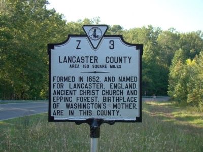
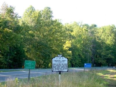
Lancaster County. Area 130 square miles. Formed in 1652, and named for Lancaster, England. Ancient Christ Church and Epping Forest, birthplace of Washington’s Mother, are in this county.
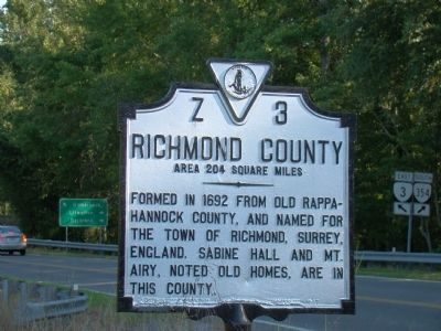
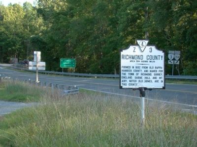
Richmond County. Area 204 square miles. Formed in 1692 from old Rappahannock County, and named for the town of Richmond, Surrey, England. Sabine Hall and Mt. Arie, noted old homes, are in this county.
Erected 1947 by Virginia Conservation Commission. (Marker Number Z-3.)
Topics and series. This historical marker is listed in this topic list: Political Subdivisions. In addition, it is included in the Virginia Department of Historic Resources (DHR) series list. A significant historical year for this entry is 1652.
Location. 37° 49.842′ N, 76° 34.614′ W. Marker is near Farnham, Virginia, in Lancaster County. Marker is on Mary Ball Road (Virginia Route 3) just west of River Road (Virginia Route 354), on the left when traveling east. Marker is at Chinns Pond. Touch for map. Marker is in this post office area: Farnham VA 22460, United States of America. Touch for directions.
Other nearby markers. At least 8 other markers are within 5 miles of this marker, measured as the crow flies. Bewdley (approx. 2.1 miles away); Cyrus Griffin’s Birthplace (approx. 2.7 miles away); Northern Neck Industrial Academy (approx. 2.7 miles away); Birthplace of Washington’s Mother (approx. 4 miles away); Trade Routes (approx. 4.1 miles away); Morattico Historic District (approx. 4.2 miles away); North Farnham Church (approx. 4.7 miles away); St. Mary’s White Chapel (approx. 4.9 miles away). Touch for a list and map of all markers in Farnham.
More about this marker. Marker has been mounted backwards on its pole. It is supposed to announce the county the driver is entering, not the one he or she is leaving.
Credits. This page was last revised on July 7, 2021. It was originally submitted on October 24, 2009, by J. J. Prats of Powell, Ohio. This page has been viewed 1,001 times since then and 24 times this year. Photos: 1, 2, 3, 4. submitted on October 24, 2009, by J. J. Prats of Powell, Ohio.
Editor’s want-list for this marker. Photos of Sabine Hall and Mt. Arie • Can you help?


