Rosemont in Treutlen County, Georgia — The American South (South Atlantic)
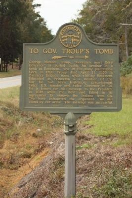
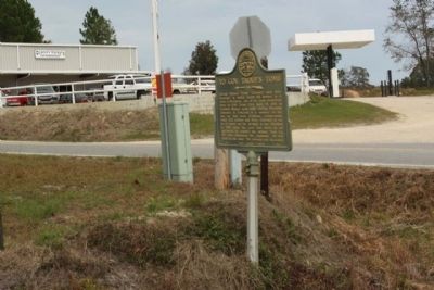
To Gov. Troup's Tomb
»— 4 mi. →
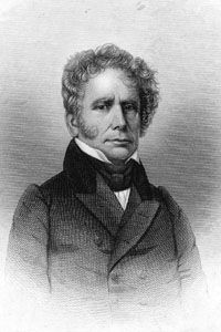
George Michael Troup, "Georgia's most fiery Governor" is buried beside his bother in a tomb at Rosemont, one of his many plantations. Born in 1780 Troup died April 28, 1856 in Overseer Bridges' home while visiting Rosemont. Educated at Princeton & a member of the bar he had been legislator, congressman, twice U.S. senator and twice Governor of Ga. He is famed for his message to the President in 1825 when the Govt. had failed in its agreement to remove the Indians from Ga. "We have exhausted the argument. We will stand by our arms." The message was successful.
Erected 1954 by Georgia Historical Commission. (Marker Number 140-1.)
Topics and series. This historical marker is listed in these topic lists: Cemeteries & Burial Sites • Native Americans • Settlements & Settlers • Wars, US Indian. In addition, it is included in the Georgia Historical Society series list. A significant historical month for this entry is April 1785.
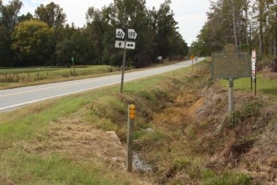
Location. 32° 20.901′ N, 82° 38.534′ W. Marker is in Rosemont, Georgia, in Treutlen County. Marker is at the intersection of State Road 46 and State Road 199, on the right when traveling south on State Road 46. Touch for map. Marker is in this post office area: Soperton GA 30457, United States of America. Touch for directions.
Other nearby markers. At least 8 other markers are within 13 miles of this marker, measured as the crow flies. Treutlen County (approx. 3˝ miles away); Gov. Troup’s Tomb (approx. 3.6 miles away); The Curt Barwick House (approx. 6˝ miles away); Nancy Hart Highway (approx. 11.7 miles away); Montgomery County Veterans Memorial (approx. 12.3 miles away); Montgomery County Courthouse (approx. 12.4 miles away); Montgomery County (approx. 12.4 miles away); a different marker also named Montgomery County (approx. 12.4 miles away).
Regarding To Gov. Troup's Tomb. See nearby markers for Tomb site.
Credits. This page was last revised on January 20, 2022. It was originally submitted on October 25, 2009, by Mike Stroud of Bluffton, South Carolina. This page has been viewed 917 times since then and 14 times this year. Photos: 1, 2, 3, 4. submitted on October 25, 2009, by Mike Stroud of Bluffton, South Carolina. • Craig Swain was the editor who published this page.


