Shockoe Bottom in Richmond, Virginia — The American South (Mid-Atlantic)
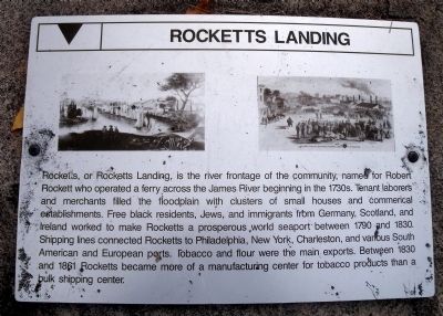
Rocketts Landing
Topics. This historical marker is listed in these topic lists: Industry & Commerce • War, US Civil • Waterways & Vessels. A significant historical year for this entry is 1790.
Location. 37° 31.552′ N, 77° 25.247′ W. Marker is in Richmond, Virginia. It is in Shockoe Bottom. Marker can be reached from the intersection of Dock Street and 2806 Pear Street. This marker is located at the east end of the parking lot in the Great Shiplock Park. Touch for map. Marker is at or near this postal address: Dock Street, Richmond VA 23223, United States of America. Touch for directions.
Other nearby markers. At least 8 other markers are within walking distance of this marker. Great Ship Lock (here, next to this marker); Confederate Navy Yard (a few steps from this marker); a different marker also named Great Ship Lock (within shouting distance of this marker); a different marker also named Great Ship Lock (within shouting distance of this marker); Coffer Dams (within shouting distance of this marker); 17 Feet (within shouting distance of this marker); Rocketts Landing and Wharf / Confederate Navy Yard / Powhatan’s Birthplace (within shouting distance of this marker); City Locks River Gauge (within shouting distance of this marker). Touch for a list and map of all markers in Richmond.
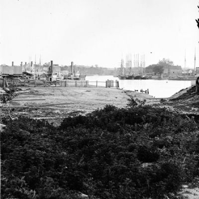
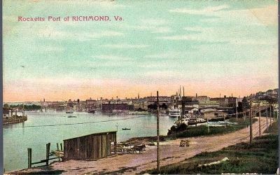
Regarding Rocketts Landing. The Confederate Navy Yard occupied both banks of the James River, including the community and port of Rocketts Landing on the north bank.
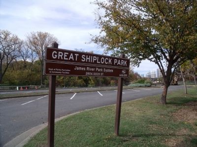
Photographed By Bernard Fisher, October 25, 2009
7. Great Shiplock Park
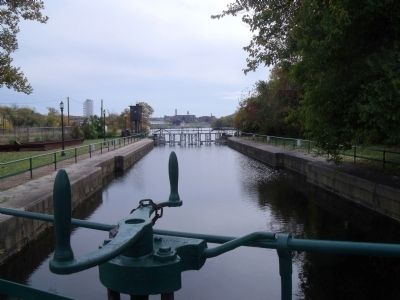
The great lock, built between 1850-1854, connected the James River with the Richmond Dock, completing the James River and Kanawha Canal system that bypassed seven miles of falls and continued 197 miles through Virginia’s western mountain ranges.
Credits. This page was last revised on February 1, 2023. It was originally submitted on October 26, 2009, by Bernard Fisher of Richmond, Virginia. This page has been viewed 2,864 times since then and 61 times this year. Photos: 1, 2, 3, 4, 5. submitted on October 26, 2009, by Bernard Fisher of Richmond, Virginia. 6. submitted on November 1, 2009, by Bernard Fisher of Richmond, Virginia. 7. submitted on October 26, 2009, by Bernard Fisher of Richmond, Virginia.
![View of Rocketts [Landing] and south side of James River from Libby Hill.. Click for full size. View of Rocketts [Landing] and south side of James River from Libby Hill. image. Click for full size.](Photos/82/Photo82078.jpg?11252005)
