Occoquan in Prince William County, Virginia — The American South (Mid-Atlantic)
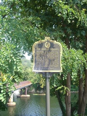
The Dogue Indians
Topics and series. This historical marker is listed in these topic lists: Agriculture • Colonial Era • Native Americans. In addition, it is included in the Virginia, Historic Occoquan series list.
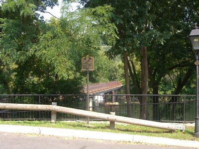
Location. 38° 41.14′ N, 77° 15.751′ W. Marker is in Occoquan, Virginia, in Prince William County. Marker is on Mill Street, on the right when traveling west. Touch for map. Marker is in this post office area: Occoquan VA 22125, United States of America. Touch for directions.
Other nearby markers. At least 8 other markers are within walking distance of this marker. Historic Occoquan (a few steps from this marker); Occoquan River Bridges (a few steps from this marker); Town of Occoquan (a few steps from this marker); a different marker also named Historic Occoquan (within shouting distance of this marker); Gearwheel Assembly (within shouting distance of this marker); a different marker also named Historic Occoquan (within shouting distance of this marker); Occoquan (within shouting distance of this marker); Ellicott’s Mill (within shouting distance of this marker). Touch for a list and map of all markers in Occoquan.
Additional commentary.
1. The Dogue Indians Before Fort Belvoir
My native Dogue family name was Beavers. Mason Neck and the land that Ft.Belvior sits on was my great great grandmother’s birthplace along the Dogue Creek near Mt.Vernon. I’ll always remember the little shacks they lived in before the Army took the rest of their lands and disbanded them. I remember the pair of apple trees on the hilltop in 1956. They were really nice people and they got taken advantage of. She cried about it all the time. In their Nation the elder women had the most power, not the men. I’m proud to be a descendant of the Natives that befriended the English when they came looking up on the river, but saddened by the end result.
— Submitted January 14, 2012, by Carl Blanchard of Spotsyvannia, Fredericksburg,va.
Credits. This page was last revised on June 16, 2016. It was originally submitted on September 9, 2007, by Kevin W. of Stafford, Virginia. This page has been viewed 3,698 times since then and 81 times this year. Photos: 1, 2. submitted on September 9, 2007, by Kevin W. of Stafford, Virginia. • J. J. Prats was the editor who published this page.

