Montpelier Station in Orange County, Virginia — The American South (Mid-Atlantic)
The Road
Discovering Madison
- Margret Bayard Smith, 1828
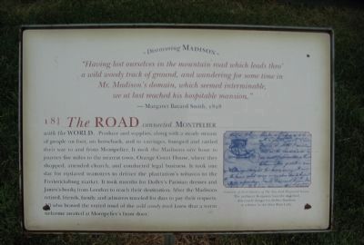
The road connected Montpelier with the world, produce and supplies, along with a steady stream of people on foot, on horseback, and in carriages, bumped and rattled their way to and from Montpelier. It took the Madisons one hour to journey five miles to the nearest town, Orange Court House, where they shopped, attended church, and conducted legal business. It took one day for enslaved teamsters to deliver the plantation's tobacco to the Fredericksburg market. It took months for Dolley's Parisian dresses and James's books from London to reach their destination. After the Madisons retired, friends, family, and admirers traveled for days to pay their respects. All who braved the rutted mud of the wild woody track knew that a warm welcome awaited at Motpelier's front door.
Erected by Montpelier Foundation. (Marker Number 8.)
Topics. This historical marker is listed in this topic list: Roads & Vehicles. A significant historical year for this entry is 1828.
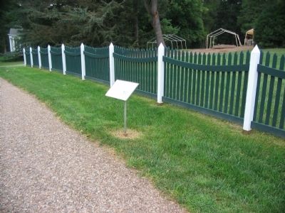
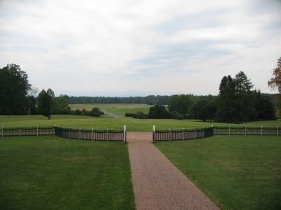
Location. 38° 13.147′ N, 78° 10.116′ W. Marker is in Montpelier Station, Virginia, in Orange County. Marker is on Montpelier Road, on the right when traveling south. Located in front of Montpelier, James Madison's home. Touch for map. Marker is in this post office area: Montpelier Station VA 22957, United States of America. Touch for directions.
Other nearby markers. At least 8 other markers are within walking distance of this marker. The Backyard (within shouting distance of this marker); Homes for Enslaved Families (within shouting distance of this marker); The Blacksmith Shop (about 300 feet away, measured in a direct line); The Quarters (about 300 feet away); The Garden (about 500 feet away); Madison Farm Complex (approx. 0.2 miles away); The African American Cemetery (approx. ¼ mile away); Slave Cemetery (approx. ¼ mile away). Touch for a list and map of all markers in Montpelier Station.
More about this marker. On the right is a illustration courtesy of the collection of the New York Historical Society, captioned The architect Benjamin Latrobe sketched this coach design for Dolley Madison in a letter to the then First Lady.
Also see . . . James Madison's Montpelier. The house and grounds of America's fourth President is preserved by the work of the Montpelier Foundation. (Submitted on October 31, 2009, by Craig Swain of Leesburg, Virginia.)
Credits. This page was last revised on June 16, 2016. It was originally submitted on October 31, 2009, by Craig Swain of Leesburg, Virginia. This page has been viewed 706 times since then and 12 times this year. Photos: 1, 2, 3. submitted on October 31, 2009, by Craig Swain of Leesburg, Virginia.


