Shockoe Slip in Richmond, Virginia — The American South (Mid-Atlantic)
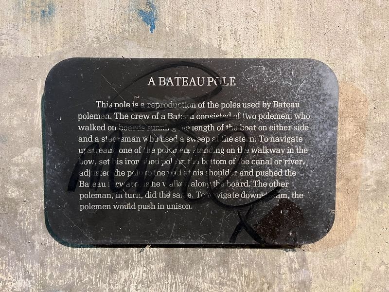
A Bateau Pole
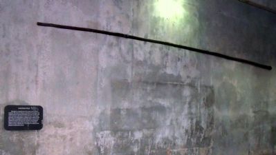
This pole is a reproduction of the poles used by Bateau polemen. The crew of a Bateau consisted of two polemen, who walked on boards running the length of the boat on either side and a steersman who used a sweep at the stern. To navigate upstream, one of the polemen, standing on the walkway in the bow, set his iron shod pole in the bottom of the canal or river, adjusted the pole to the pad at his shoulder and pushed the Bateau forward as he walked along the board. The other poleman, in turn, did the same. To navigate downstream, the pole man would push in unison.
Topics. This historical marker is listed in these topic lists: Industry & Commerce • Waterways & Vessels.
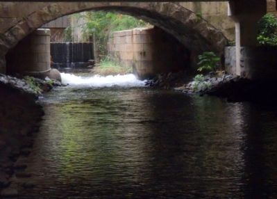
Location. 37° 32.019′ N, 77° 26.092′ W. Marker is in Richmond, Virginia. It is in Shockoe Slip. Marker can be reached from the intersection of Virginia Street and East Canal Street. This marker is on the Richmond Riverfront Canal Walk between Virginia Street and S 12th Street. Touch for map. Marker is in this post office area: Richmond VA 23219, United States of America. Touch for directions.
Other nearby markers. At least 8 other markers are within walking distance of this marker. 13th Street Bridge (a few steps from this marker); The Center of Industry in 18th and 19th Century Richmond (a few steps from this marker); Tidewater Connection Locks (a few steps from this marker); Tidewater Lock View (within shouting distance of this marker); Gallego Mill Flume (within shouting distance of this marker); James River & Kanawha Canal (about 300 feet away, measured in a direct line); Ross' Mill Race (about 300 feet away); Electric Trolley (about 400 feet away). Touch for a list and map of all markers in Richmond.
Also see . . .
1. Richmond’s Historic Canal Walk. Venture Richmond (Submitted on October 31, 2009.)
2. James River and Kanawha Canal Historic District. National Register of Historic Places (Submitted on October 31, 2009.)
3. James River Bateau. Wikipedia (Submitted on October 31, 2009.)
4. James River Batteau Festival. (Submitted on October 31, 2009.)

Photographed By Devry Becker Jones (CC0), November 10, 2023
2. A Bateau Pole Marker
Unfortunately, the marker has been defaced.
Credits. This page was last revised on November 10, 2023. It was originally submitted on October 31, 2009, by Bernard Fisher of Richmond, Virginia. This page has been viewed 1,107 times since then and 27 times this year. Photos: 1. submitted on October 31, 2009, by Bernard Fisher of Richmond, Virginia. 2. submitted on November 10, 2023, by Devry Becker Jones of Washington, District of Columbia. 3, 4, 5. submitted on October 31, 2009, by Bernard Fisher of Richmond, Virginia.


