Gambles Hill in Richmond, Virginia — The American South (Mid-Atlantic)
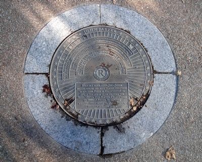
John Jasper
“Jasper didn’t convert me to his religion, but he did convert me to himself….I felt his greatness.” A Richmond reporter
“You felt the ground got holy where he went along." One of Jasper’s converts
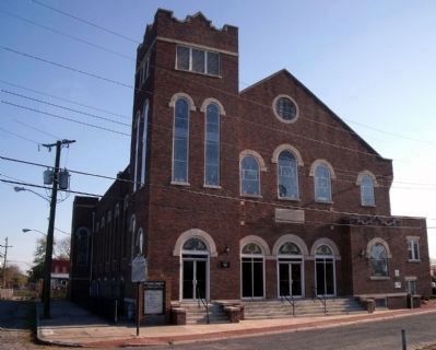
Born in a slave cabin, John Jasper became one of the most famous preachers of his time. Freed by emancipation in 1865 at the age of 53, he founded the Sixth Mount Zion Baptist Church here on Brown’s Island. In 1869, the congregation moved to Duval Street, where it remains today.
Erected by Richmond Riverfront Canal Walk.
Topics. This historical marker is listed in these topic lists: African Americans • Churches & Religion. A significant historical year for this entry is 1884.
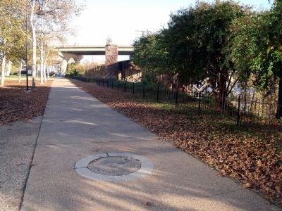
Location. 37° 32.038′ N, 77° 26.567′ W. Marker is in Richmond, Virginia. It is in Gambles Hill. Marker can be reached from the intersection of South 7th Street and Tredegar Street. This marker is on the Richmond Riverfront Canal Walk on Brown's Island. Touch for map. Marker is in this post office area: Richmond VA 23219, United States of America. Touch for directions.
Other nearby markers. At least 8 other markers are within walking distance of this marker. Confederate Laboratory (within shouting distance of this marker); Tredegar Iron Works (about 400 feet away, measured in a direct line); Manchester & Free Bridges (about 400 feet away); R&P Railroad Piers (about 400 feet away); Brown’s Island (about 400 feet away); Potterfield Bridge (about 400 feet away); Canal Walk / Historic Canals (about 400 feet away); Falls of the James (about 500 feet away). Touch for a list and map of all markers in Richmond.
Credits. This page was last revised on February 1, 2023. It was originally submitted on November 5, 2009, by Bernard Fisher of Richmond, Virginia. This page has been viewed 844 times since then and 8 times this year. Photos: 1, 2. submitted on November 5, 2009, by Bernard Fisher of Richmond, Virginia. 3. submitted on November 6, 2009, by Bernard Fisher of Richmond, Virginia.


