Gambles Hill in Richmond, Virginia — The American South (Mid-Atlantic)
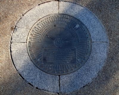
Manchester & Free Bridges
The day after the Free Bridge opened, thousands crowded onto it to watch the Reverend John Jasper conduct a large group-baptism ceremony in the river.
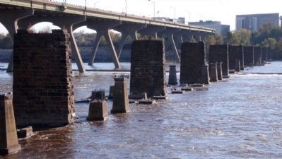
For years, the only James River crossing for pedestrians and vehicles was Mayo’s toll bridge, at 14th Street. Richmond’s first “free” bridge was built east of here in 1873. Today’s Manchester Bridge, built in 1972, includes a legally mandated free walkway.
Erected by Richmond Riverfront Canal Walk.
Topics. This historical marker is listed in this topic list: Bridges & Viaducts. A significant historical year for this entry is 1873.
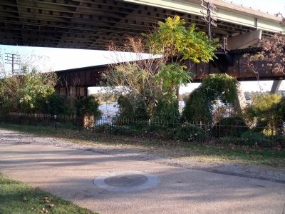
Location. 37° 32.028′ N, 77° 26.488′ W. Marker is in Richmond, Virginia. It is in Gambles Hill. Marker can be reached from South 7th Street near Tredegar Street. This marker is on the Richmond Riverfront Canal Walk on Brown's Island. Touch for map. Marker is in this post office area: Richmond VA 23219, United States of America. Touch for directions.
Other nearby markers. At least 8 other markers are within walking distance of this marker. Brown’s Island (within shouting distance of this marker); Albemarle Paper (within shouting distance of this marker); Electricity for Streetcars (within shouting distance of this marker); a different marker also named Brown’s Island (within shouting distance of this marker); R&P Railroad Piers (within shouting distance of this marker); Confederate Laboratory (about 300 feet away, measured in a direct line); John Jasper (about 400 feet away); Canal Walk / Historic Canals (about 500 feet away). Touch for a list and map of all markers in Richmond.
Also see . . . Richmond Riverfront Canal Walk. Venture Richmond (Submitted on November 5, 2009.)
Credits. This page was last revised on February 1, 2023. It was originally submitted on November 5, 2009, by Bernard Fisher of Richmond, Virginia. This page has been viewed 820 times since then and 18 times this year. Photos: 1, 2, 3. submitted on November 5, 2009, by Bernard Fisher of Richmond, Virginia.


