Kilmarnock in Lancaster County, Virginia — The American South (Mid-Atlantic)
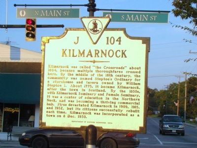
Kilmarnock
Erected 2008 by Department of Historic Resources. (Marker Number J-104.)
Topics and series. This historical marker is listed in these topic lists: Colonial Era • Political Subdivisions. In addition, it is included in the Virginia Department of Historic Resources (DHR) series list. A significant historical date for this entry is December 8, 1930.
Location. 37° 42.65′ N, 76° 22.817′ W. Marker is in Kilmarnock, Virginia, in Lancaster County. Marker is at the intersection of Main Street (Virginia Route 3) and East Church Street (Virginia Route 200), on the right when traveling east on Main Street. Touch for map. Marker is in this post office area: Kilmarnock VA 22482, United States of America. Touch for directions.
Other nearby markers. At least 8 other markers are within 4 miles of this marker, measured as the crow flies. First American Woman Missionary to China (about 500 feet away, measured in a direct line); Never Forget Garden (about 700 feet away); Dr. Morgan E. Norris (approx. 0.9 miles away); Ditchley and Cobbs (approx. 1.9 miles away); Corotoman (approx. 3.1 miles away); Christ Church (approx. 3.1 miles away); Morattico Baptist Church (approx. 3.1 miles away); Virginia Founders, Revolutionary War Patriots and War of 1812 Veterans (approx. 3.2 miles away). Touch for a list and map of all markers in Kilmarnock.
Also see . . . Kilmarnock’s History. “In 1764, Robert Gilmour, an agent for a mercantile firm based in Glasgow, Scotland, is thought to have been involved in giving the name of ‘Kilmarnock’ to the crossroads location using the name of Kilmarnock, Scotland, where he apparently also owned land. The earliest known record referenced to ‘Kilmarnock, Virginia,’ can be found in a deed recorded in 1778.” (Submitted on November 7, 2009.)
Photographed By J. J. Prats, September 5, 2009
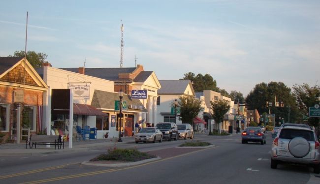
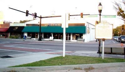
2. The Marker is at the Corner of Main and Church Streets
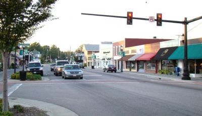
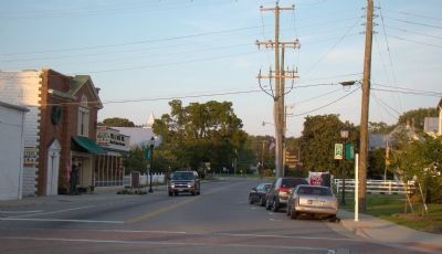
North and South Main Streets (Route 3, left to right) meet East Church Street (Route 200, behind marker) and West Church Street(behind the photographer). Lipscombe’s Furniture store is on this corner.
Credits. This page was last revised on June 16, 2016. It was originally submitted on November 7, 2009, by J. J. Prats of Powell, Ohio. This page has been viewed 1,178 times since then and 28 times this year. Photos: 1, 2, 3, 4, 5. submitted on November 7, 2009, by J. J. Prats of Powell, Ohio.
