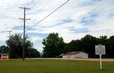
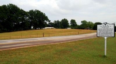
Near Greer in Greenville County, South Carolina — The American South (South Atlantic)
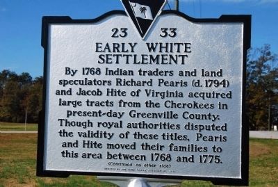
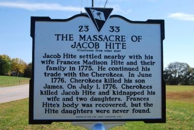
Early White Settlement / The Massacre of Jacob Hite
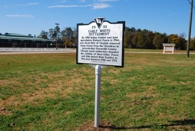
[Marker Front]:
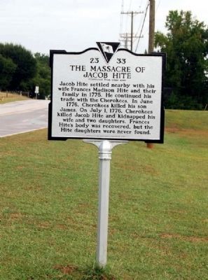
[Marker Reverse]:
Erected 2009 by Hite Family Association. (Marker Number 23-33.)
Topics. This historical marker is listed in these topic lists: Colonial Era • Settlements & Settlers. A significant historical year for this entry is 1768.
Location. 34° 53.868′ N, 82° 14.682′ W. Marker is near Greer, South Carolina, in Greenville County. Marker is on Gibbs Shoals Road (County Road 164) 0.1 miles north of East Suber Road (County Road 540), on the right when traveling south. Touch for map. Marker is in this post office area: Greer SC 29650, United States of America. Touch for directions.
Other nearby markers. At least 10 other markers are within 3 miles of this marker, measured as the crow flies. Mike Garfield (approx. 2.2 miles away); Theron J. Hendrix Memorial Highway (approx. 2˝ miles away); Suber's Mill (approx. 2.6 miles away); Worth Barnett Overpass (approx. 2.6 miles away); M106A1 Mortar Carrier (approx. 2.7 miles away); Ronnie Eugene Norris Remembrance Fountain (approx. 2.7 miles away); Greer Area Veterans Memorial (approx. 2.7 miles away); All Wars Memorial (approx. 2.7 miles away); AH-1 Cobra Helicopter (approx. 2.7 miles away); Flatwood (approx. 2.7 miles away). Touch for a list and map of all markers in Greer.
Also see . . .
1. Wikipedia entry for Jacob Hite. Jacob Hite was one of the wealthiest men in Berkeley County, West Virginia. (Submitted on November 8, 2009, by Michael Sean Nix of Spartanburg, South Carolina.)
2. Wikipedia entry for Richard Pearis. Richard Pearis (1725 – 1794) was an Indian trader, a pioneer settler of Upstate South Carolina, and a Loyalist officer during the American Revolution. (Submitted on November 8, 2009, by Michael Sean Nix of Spartanburg, South Carolina.)
Credits. This page was last revised on June 16, 2016. It was originally submitted on November 8, 2009, by Michael Sean Nix of Spartanburg, South Carolina. This page has been viewed 5,417 times since then and 120 times this year. Photos: 1, 2. submitted on November 8, 2009, by Michael Sean Nix of Spartanburg, South Carolina. 3, 4. submitted on October 9, 2010, by Brian Scott of Anderson, South Carolina. 5. submitted on November 8, 2009, by Michael Sean Nix of Spartanburg, South Carolina. 6, 7. submitted on October 9, 2010, by Brian Scott of Anderson, South Carolina. • Kevin W. was the editor who published this page.
