Homewood in Jefferson County, Alabama — The American South (East South Central)
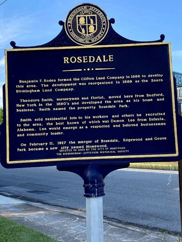
Rosedale
Theodore Smith, nurseryman and florist, moved here from Bedford, New York in the 1880's and developed the area as his home and business. Smith named the property Rosedale Park.
Smith sold residential lots to his workers and others he recruited to the area, the best known of which was Damon Lee from Eufaula, Alabama. Lee would emerge as a respected and beloved businessman and community leader.
On February 11, 1927 the merger of Rosedale, Edgewood and Grove Park became a new city named Homewood.
Erected 2003 by City of Homewood / The Birmingham-Jefferson Historical Society.
Topics. This historical marker is listed in this topic list: Settlements & Settlers. A significant historical month for this entry is February 1849.
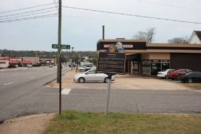
Location. 33° 29.016′ N, 86° 47.52′ W. Marker is in Homewood, Alabama, in Jefferson County. Marker is at the intersection of 18th Street South and 26th Avenue South, on the right when traveling south on 18th Street South. Touch for map. Marker is in this post office area: Birmingham AL 35209, United States of America. Touch for directions.
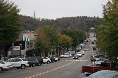
Other nearby markers. At least 8 other markers are within walking distance of this marker. Homewood (approx. ¼ mile away); “We Love Homewood” (approx. ¼ mile away); Hallman Hill (approx. 0.4 miles away); Shades Valley High School (approx. half a mile away); Hollywood / Hollywood Town Hall / Hollywood Country Club (approx. half a mile away); The Cascade (approx. 0.6 miles away); Designing Vulcan Park (approx. 0.6 miles away); The Iron Man: Vulcan (approx. 0.6 miles away). Touch for a list and map of all markers in Homewood.
Credits. This page was last revised on April 20, 2023. It was originally submitted on November 10, 2009, by Timothy Carr of Birmingham, Alabama. This page has been viewed 2,094 times since then and 40 times this year. Photos: 1. submitted on April 17, 2023, by Darren Jefferson Clay of Duluth, Georgia. 2, 3, 4. submitted on November 10, 2009, by Timothy Carr of Birmingham, Alabama. • Bill Pfingsten was the editor who published this page.


