Gambles Hill in Richmond, Virginia — The American South (Mid-Atlantic)
Tredegar in the Twentieth Century / Then and Now
Inscription.
Tredegar in the Twentieth Century
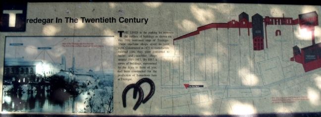
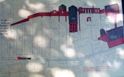
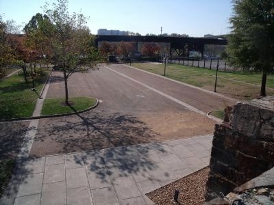
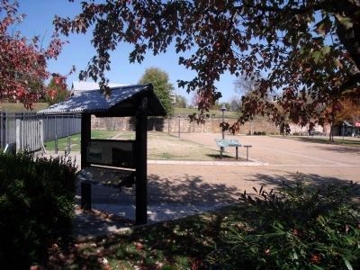
The lines in the parking lot represent the outlines of buildings as shown on this 1951 insurance map of Tredegar. Three machine shops stood to your right. Constructed in 1872 to manufacture railroad cars, they were converted to boiler and machine shops around 1884-1887. By 1887, a series of buildings, represented by the lines in front of you, had been constructed for the production of horseshoes here at Tredegar.
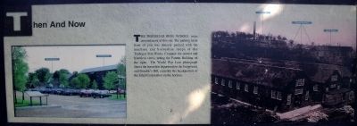
Then and Now
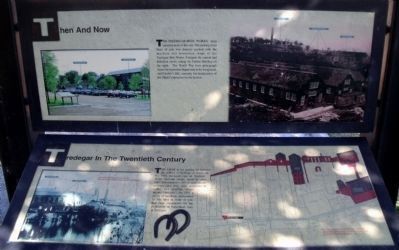
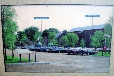
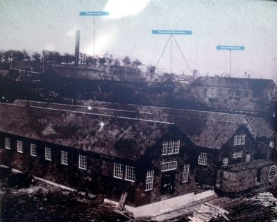
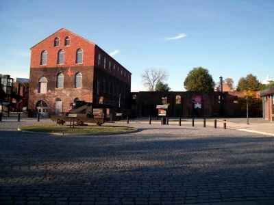
The Tredegar Iron Works once covered most of this site. The parking lot in front of you was densely packed with the machine and horseshoe shops of the Tredegar Iron Works. Compare the current and historical views, noting the Pattern Building on the right. The World War I-era photograph shows the horseshoe department in the foreground, and Gamble’s Hill, currently the headquarters of the Ethyl Corporation on the horizon.
Topics. This historical marker is listed in these topic lists: Animals • Industry & Commerce. A significant historical year for this entry is 1951.
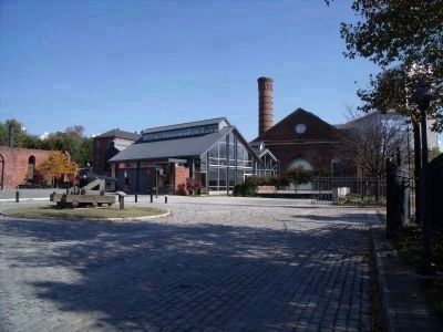
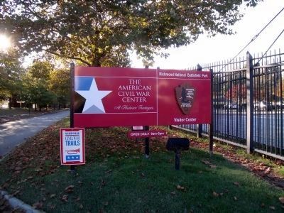
Location. 37° 32.084′ N, 77° 26.812′ W. Marker is in Richmond, Virginia. It is in Gambles Hill. Marker can be reached from Tredegar Street, 0.1 miles west of South 5th Street. This marker is located in the parking lot of the Civil War Visitor Center at Tredegar Iron Works and the American Civil War Center at Historic Tredegar. Touch for map. Marker is at or near this postal address: 470 Tredegar Street, Richmond VA 23219, United States of America. Touch for directions.
Other nearby markers. At least 8 other markers are within walking distance of this marker. Horseshoe Shops (a few steps from this marker); Tredegar Rolling Mills (within shouting distance of this marker); Making Machines at Tredegar (within shouting distance of this marker); What’s That? (within shouting distance of this marker); Gateway to the Civil War (about 300 feet away, measured in a direct line); Belle Isle Prison (about 300 feet away); Belle Isle and Old Dominion Iron and Nail Works (about 300 feet away); The Bulldozer Press (about 300 feet away). Touch for a list and map of all markers in Richmond.
More about this marker. Tredegar in the Twentieth Century
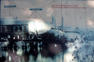
On the left is a photograph of Tredegar with the caption, "View of the Tredegar site from the river. The front of the machine shops can be seen clearly."
On the right is a map of the Tredegar complex with the caption, "The 1951 insurance map shows what buildings exited during that period. Those that remain today are shown in three-dimensions."
Then and Now
On the left is a modern view of Tredegar compared to the WWI-era historical view on the right.
Also see . . . Tredegar Iron Works. National Register of Historic Places (Submitted on November 11, 2009.)
Credits. This page was last revised on February 1, 2023. It was originally submitted on November 11, 2009, by Bernard Fisher of Richmond, Virginia. This page has been viewed 759 times since then and 12 times this year. Photos: 1, 2, 3, 4, 5, 6, 7. submitted on November 11, 2009, by Bernard Fisher of Richmond, Virginia. 8. submitted on November 12, 2009, by Bernard Fisher of Richmond, Virginia. 9, 10, 11, 12. submitted on November 11, 2009, by Bernard Fisher of Richmond, Virginia.
