Alviso in Santa Clara County, California — The American West (Pacific Coastal)
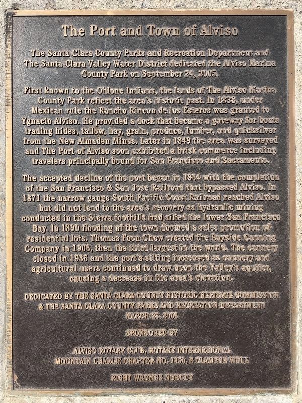
The Port and Town of Alviso
The Santa Clara County Parks and Recreation Department and the Santa Clara Valley Water District dedicated the Alviso Marina County Park on September 24, 2005.
First known to the Ohlone Indians, the lands of The Alviso Marina County Park reflect the area’s historic past. In 1838, under Mexican rule, the Rancho de los Esteros was granted to Ygnacio Alviso. He provided a dock that became a gateway for boats trading hides, tallow, hay, grain, produce, lumber, and quicksilver from the New Almaden Mines. Later in 1849 the area surveyed and The Port of Alviso soon exhibited a brisk commerce including travelers principally bound for San Francisco and Sacramento.
The accepted decline of the port began in 1864 with the completion of the San Francisco & San Jose Railroad Alviso. In 1871 the narrow gauge South Pacific Coast Railroad reached Alviso but did not lend to the area’s recovery as hydraulic mining conducted in the Sierra foothills had silted the lower San Francisco Bay. In 1890 flooding of the town doomed a sales promotion of residential lots. Thomas Foon Chew created the Bayside Canning Company in 1906, then the third largest in the world. The cannery and agricultural users continued to draw upon the Valley’s aquifer, causing a decrease in the area’s elevation.
Dedicated by the Santa Clara County Historic Heritage Commission & The Santa Clara County Parks and Recreation Department, March 25, 2006.
Sponsored by Alviso Rotary Club, Rotary International; and Mountain Charlie Chapter No. 1850, E Clampus Vitus.
Erected 2006 by Alviso Rotary Club, Rotary International and the Mountain Charlie Chapter No. 1850, E Clampus Vitus.
Topics and series. This historical marker is listed in these topic lists: Industry & Commerce • Notable Places • Settlements & Settlers. In addition, it is included in the E Clampus Vitus, and the Rotary International series lists. A significant historical date for this entry is March 25, 2006.
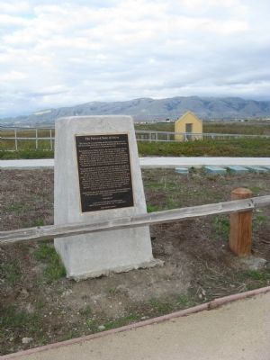
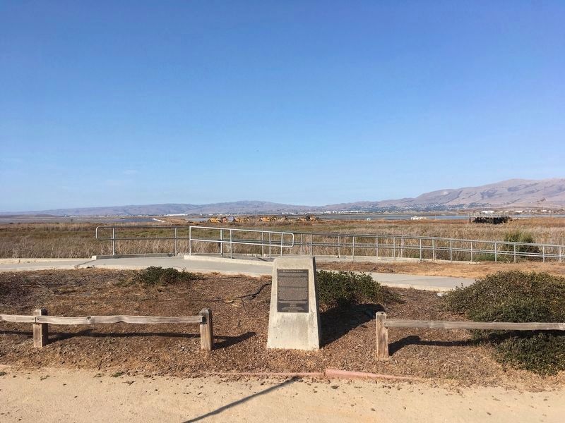
Location. 37° 25.793′ N, 121° 58.754′ W. Marker is in Alviso, California, in Santa Clara County. Marker can be reached from Hope Street. Marker is located near the entrance to the Alviso Marina County Park. Touch for map. Marker is in this post office area: Alviso CA 95002, United States of America. Touch for directions.
Other nearby markers. At least 8 other markers are within walking distance of this marker. Discover Alviso’s Rich History (a few steps from this marker); Water Everywhere (within shouting distance of this marker); The Steamboat Jenny Lind Disaster (about 300 feet away, measured in a direct line); Salt Ponds (about 400 feet away); Location, Location, Location (about 500 feet away); China Camp (about 600 feet away); Bayside Cannery (about 600 feet away); Union Warehouse and Docks (about 700 feet away). Touch for a list and map of all markers in Alviso.
Also see . . .
1. Alviso. Visit San Jose website entry (Submitted on November 11, 2009, by Syd Whittle of Mesa, Arizona.)
2. The Juan de Bautista de Anza Trail. National Park Service entry:
Ygnacio Alviso was a child when he accompanied the Juan de Bautista Expedition. (Submitted on November 11, 2009, by Syd Whittle of Mesa, Arizona.)
Credits. This page was last revised on February 7, 2023. It was originally submitted on November 11, 2009, by Syd Whittle of Mesa, Arizona. This page has been viewed 1,295 times since then and 35 times this year. Photos: 1. submitted on September 26, 2021, by Craig Baker of Sylmar, California. 2, 3. submitted on November 11, 2009, by Syd Whittle of Mesa, Arizona. 4. submitted on September 26, 2021, by Craig Baker of Sylmar, California. 5, 6. submitted on November 11, 2009, by Syd Whittle of Mesa, Arizona.
