Near Monticello in Jasper County, Georgia — The American South (South Atlantic)
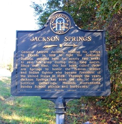
Jackson Springs
→
Erected 1957 by Georgia Historical Commission. (Marker Number 079-4.)
Topics and series. This historical marker is listed in these topic lists: Government & Politics • Parks & Recreational Areas • Wars, US Indian. In addition, it is included in the Former U.S. Presidents: #07 Andrew Jackson, and the Georgia Historical Society series lists. A significant historical year for this entry is 1818.
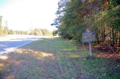
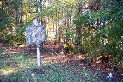
Location. 33° 17.58′ N, 83° 42.204′ W. Marker is near Monticello, Georgia, in Jasper County. Marker is on Edwards Road (Georgia Route 83) 0.2 miles south of Brazey Road, on the right when traveling east. Touch for map. Marker is in this post office area: Monticello GA 31064, United States of America. Touch for directions.
Other nearby markers. At least 8 other markers are within 3 miles of this marker, measured as the crow flies. Monticello Government Complex (approx. 1.3 miles away); Jasper County Civil War Memorial (approx. 1.4 miles away); Site of Inn (approx. 1.4 miles away); Jasper County (approx. 1.4 miles away); Reese Home (approx. 1˝ miles away); The Stoneman Raid (approx. 2.2 miles away); Hebron Baptist Church (approx. 2.2 miles away); The March to the Sea (approx. 2.8 miles away). Touch for a list and map of all markers in Monticello.
Credits. This page was last revised on November 16, 2019. It was originally submitted on November 13, 2009, by David Seibert of Sandy Springs, Georgia. This page has been viewed 1,780 times since then and 53 times this year. Photos: 1, 2, 3. submitted on November 13, 2009, by David Seibert of Sandy Springs, Georgia. • Bill Pfingsten was the editor who published this page.


